Glenwood Springs to Rocky Mountain National Park – November 2019

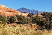
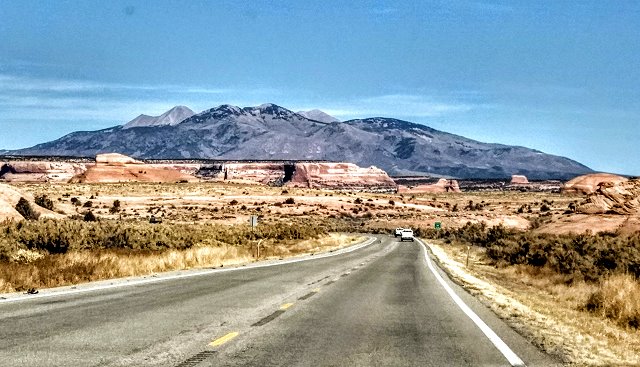
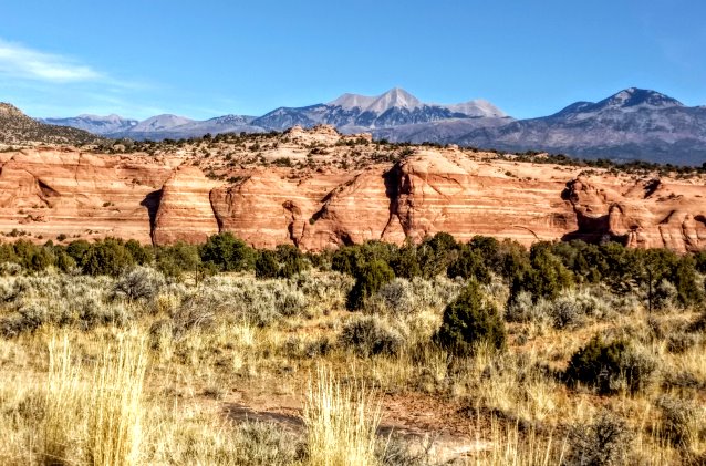
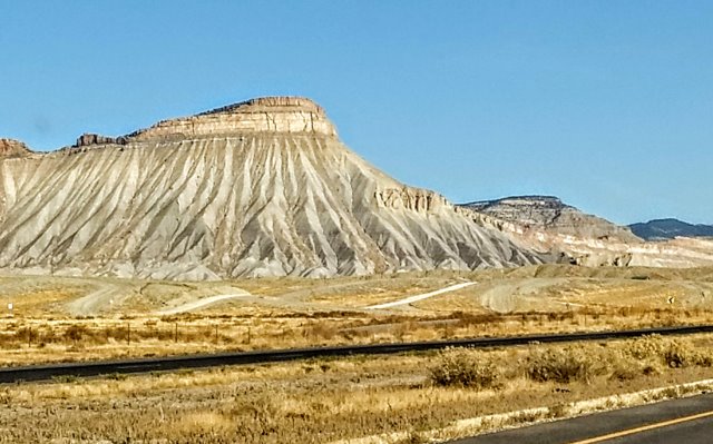
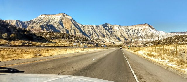
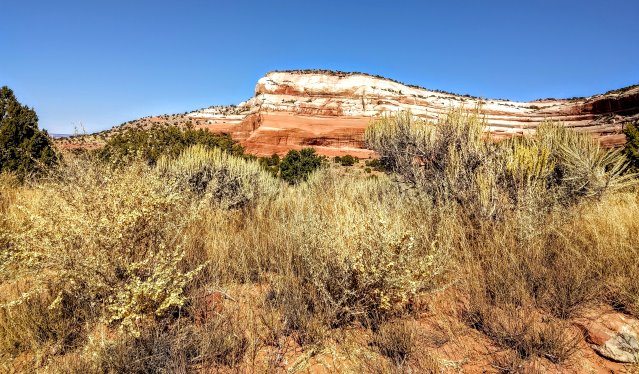
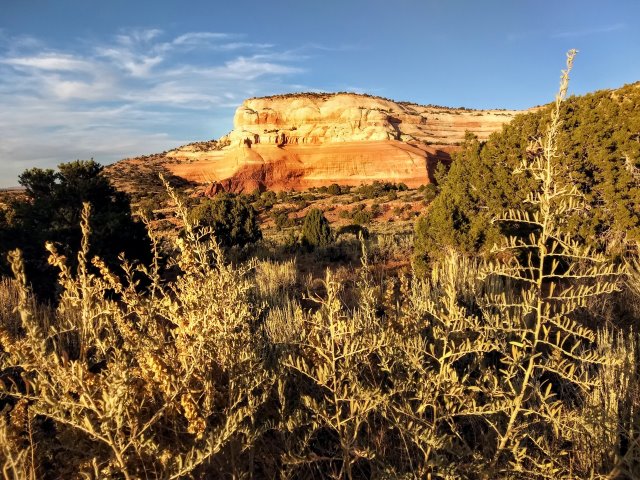
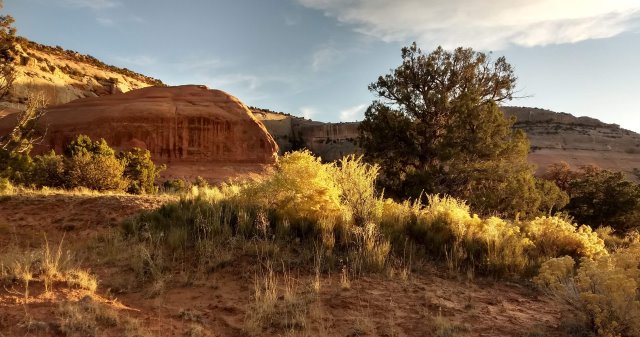
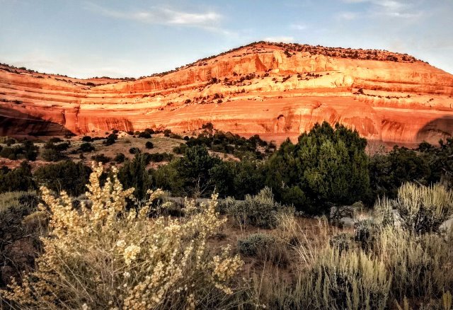
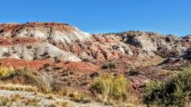
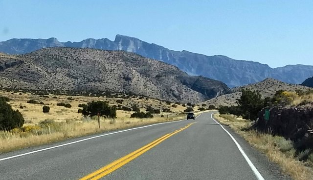
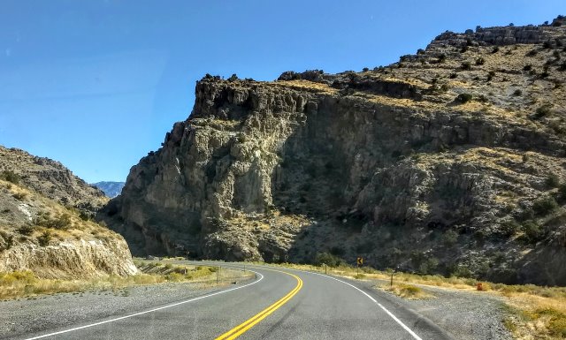
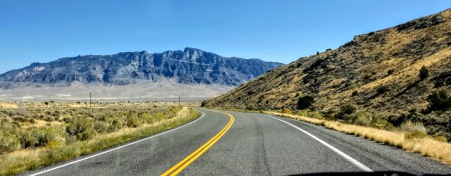
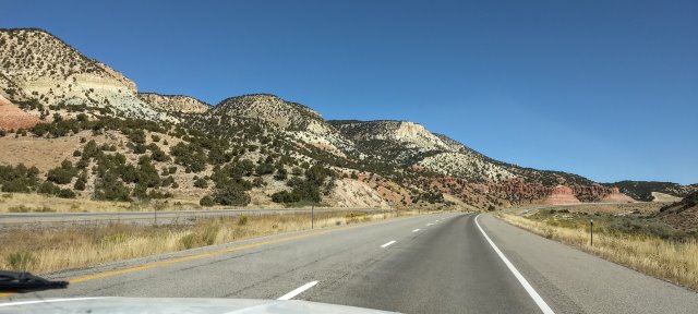
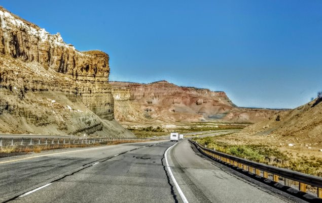
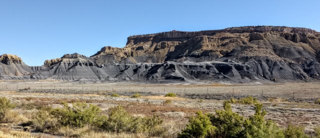
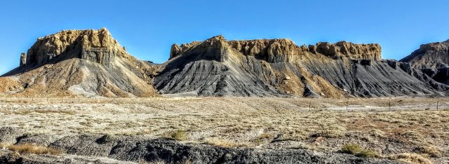
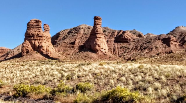
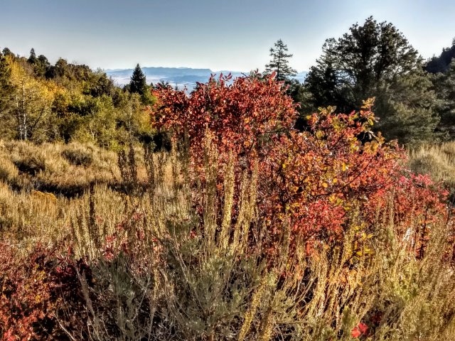
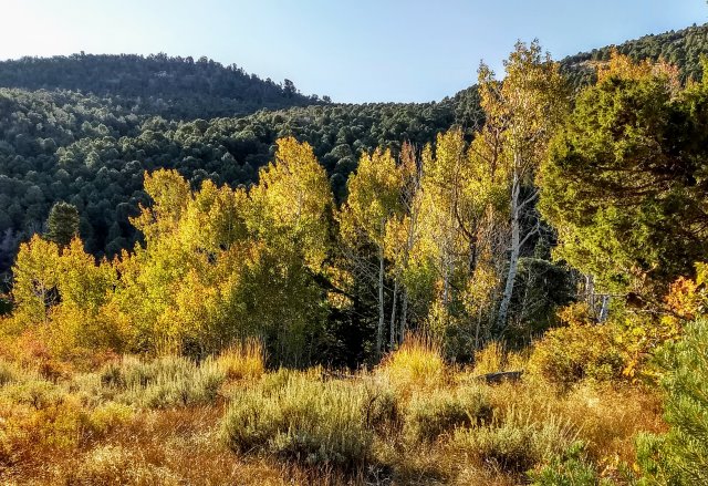
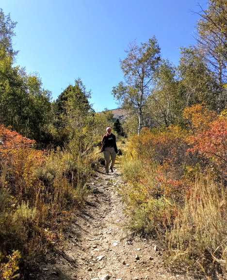
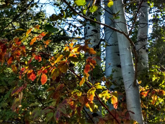
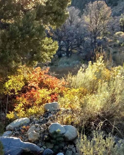
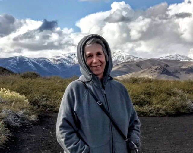
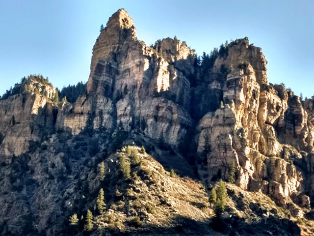
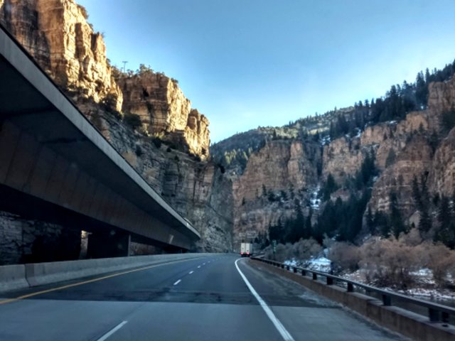
Thursday November 14. After a good complementary breakfast at our Rodeway Inn in Glenwood Springs, Clifford and I continue east on I-70, a very scenic drive. Glenwood Canyon is regarded as an outstanding engineering achievement due to running an interstate through this narrow canyon.

Glendwood Canyon
Glenwood Canyon – the westbound lane is raised

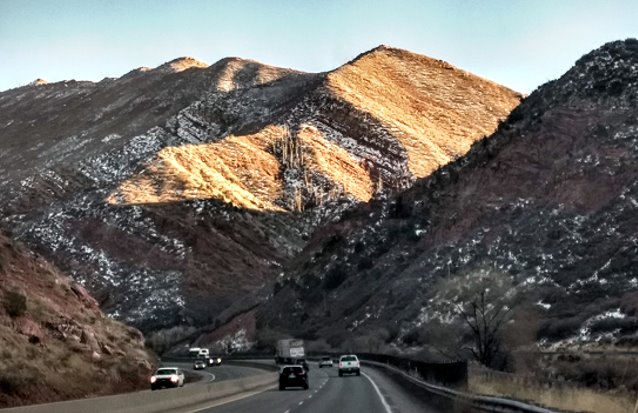
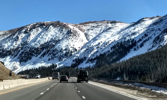
Vail Pass at over 10,000 feet and then Empire Pass over 11,000 feet are quite impressive and we are glad to see that snow reaching down the mountainsides has retreated from the highway itself.

Frisco, Colorado
Nearing the Eisenhower Tunnel – snow all the way to the edge of the highway

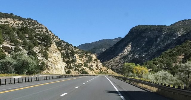
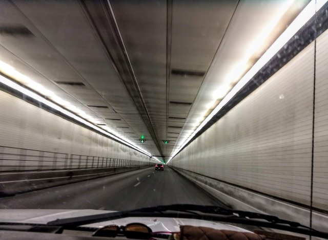
Tunnels through sections of the mountains, including the long Eisenhower Tunnel, over a mile and a half in length, are another engineering and construction accomplishment along this stretch of highway.

Eisenhower Tunnel

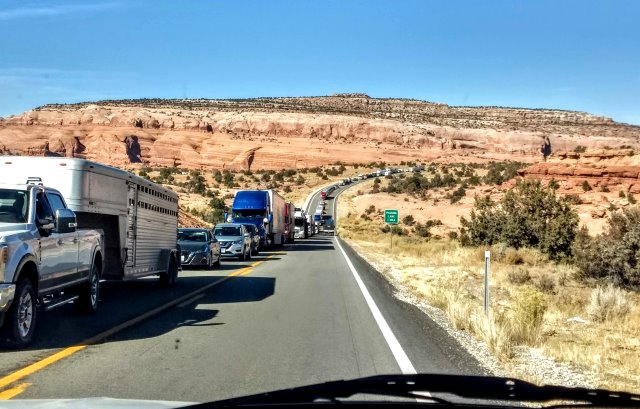
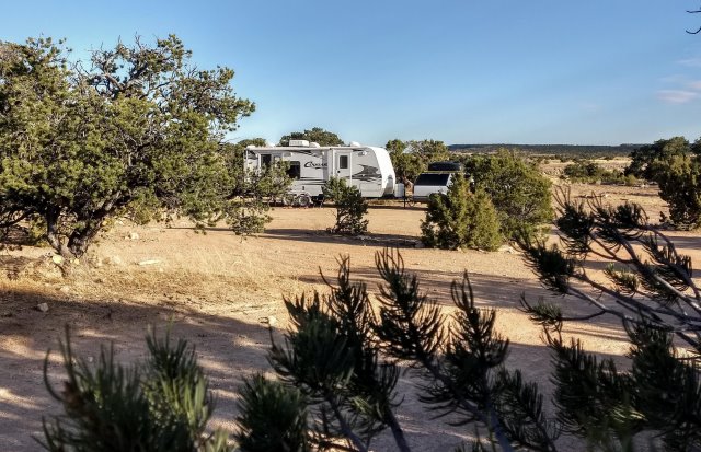
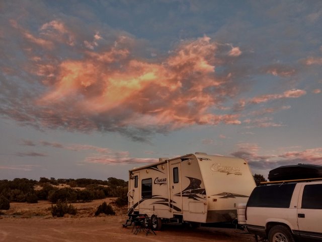
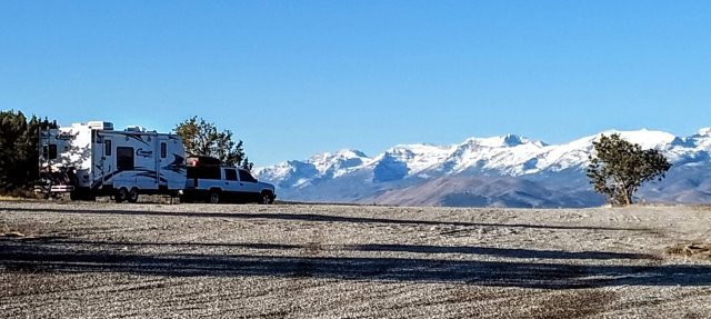
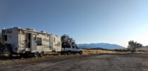
We are constantly aware, with the steep grades and the curves, that this is not a highway that we would ever want to tow our RV, and we see very few RV’s as we travel.

The Eisenhower Tunnel is is followed by 44 miles of downhill curves all the way to Denver, where we leave I-70 and enter I-25 north.

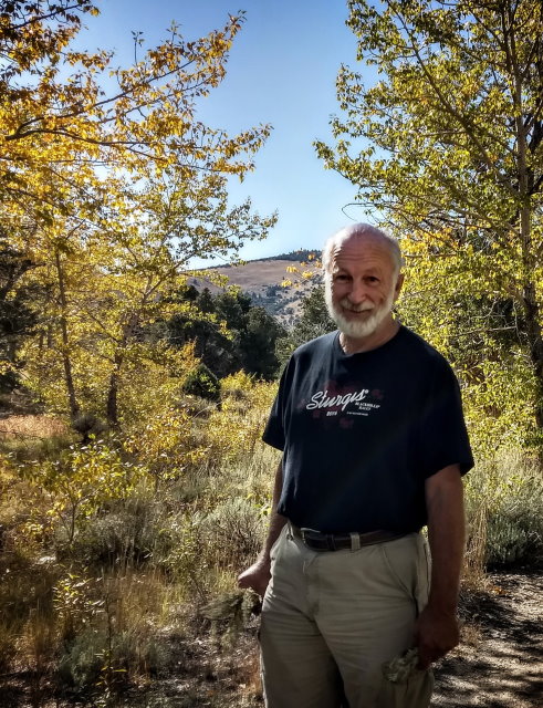
Arriving at Loveland, we make out way to our friends’ place, walk about seeing the neighborhood, have good pizza for dinner, and chat until late. I was also able to make contact with a “Celebrate What’s Right With the World” friend. Since it is a chilly dark evening, we decide on a phone conversation rather than a get-together, and have a good talk about how each has come to have photography as a priority.

Walkabout at our friends’ place

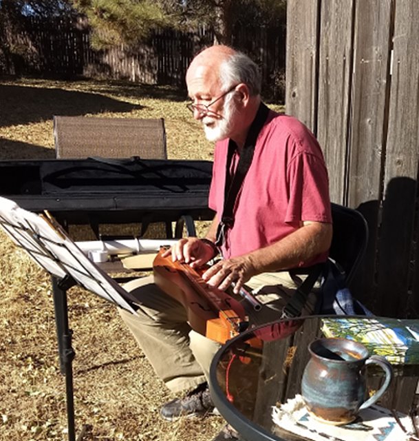
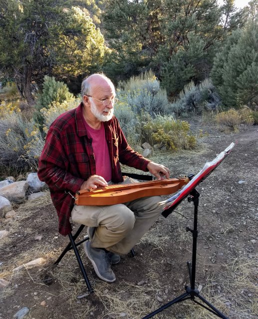
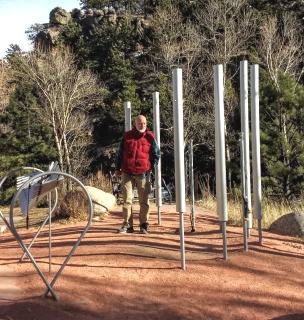
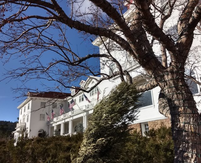
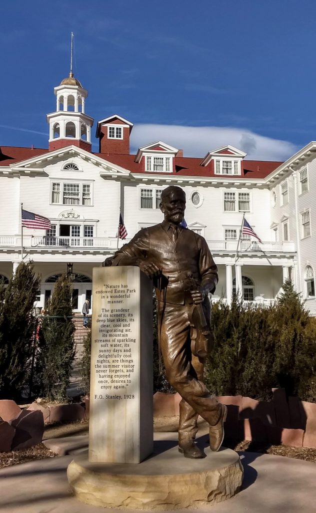
Friday November 15: Our friends make a good yummy breakfast and then, after Clifford does some work on the interview coming up, we all head up to Estes Park and Rocky Mountain National Park. After lunch at a coffee & sandwich joint next to some outdoor instruments, we go to the Stanley Hotel, famous as the location of the creepy Steven King movie, The Shining.

Clifford playing the outdoor chimes
Stanley Hotel

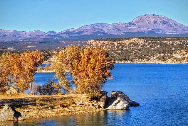
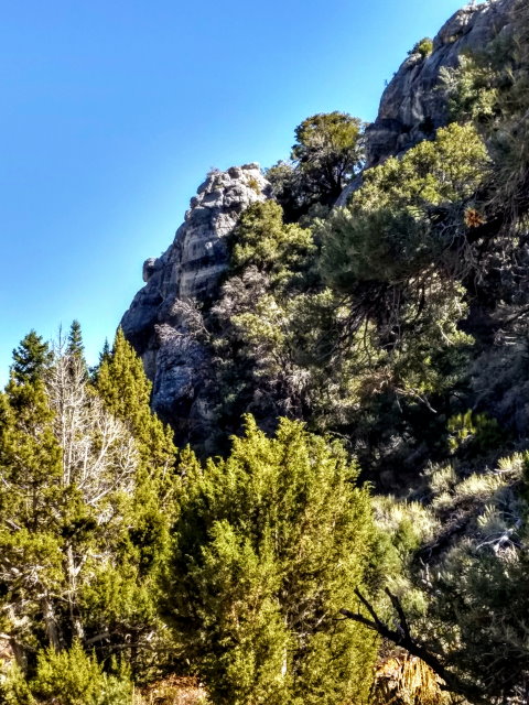
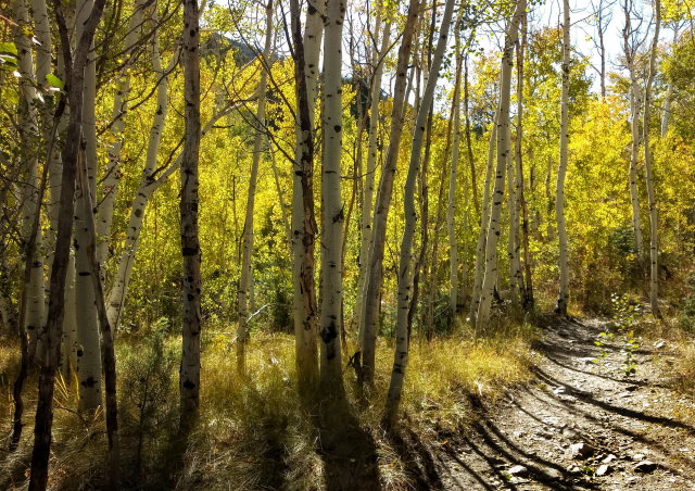
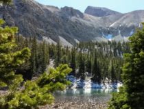
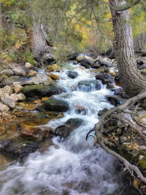
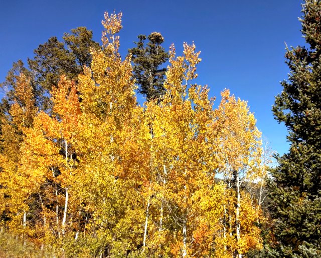
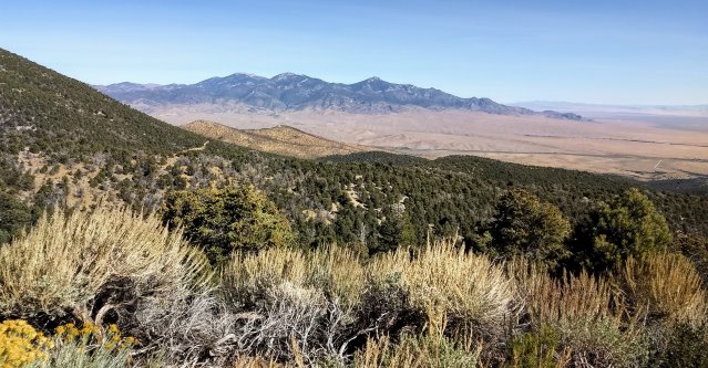
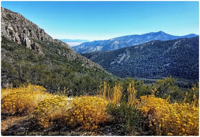
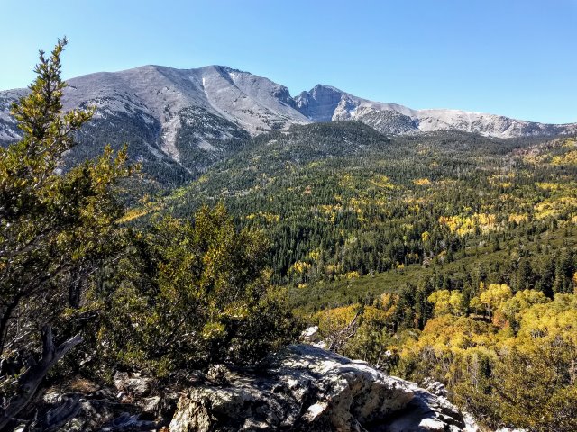
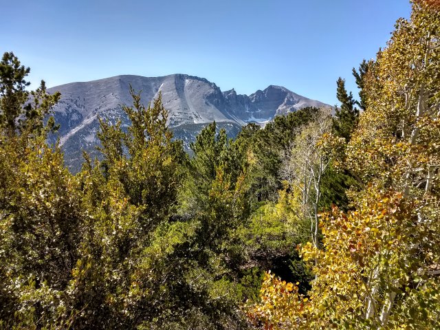
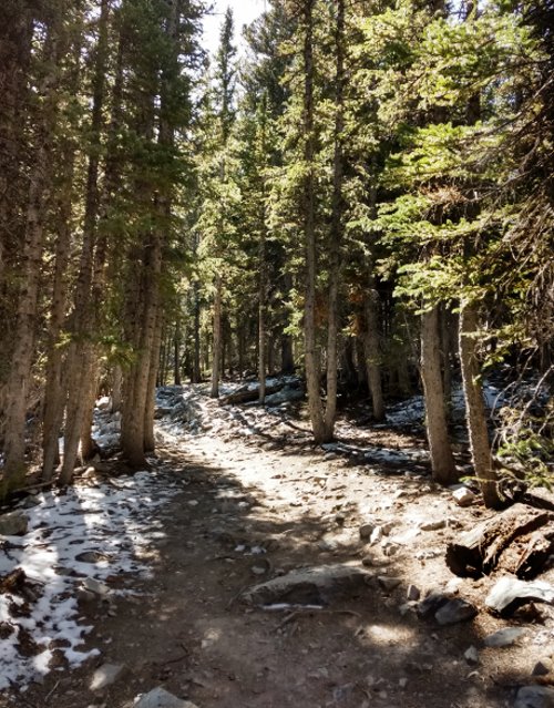
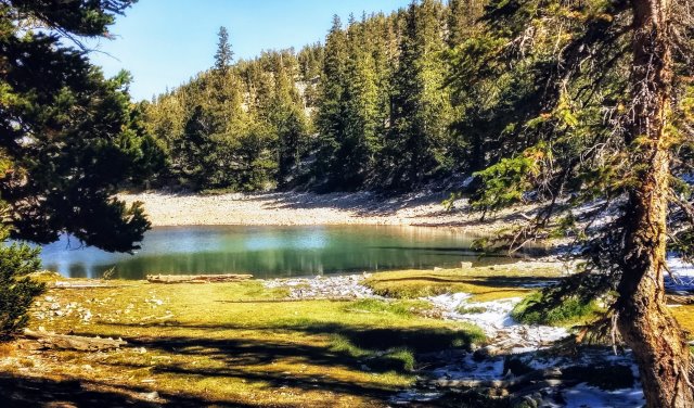
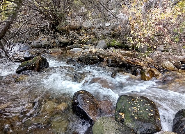
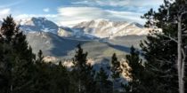
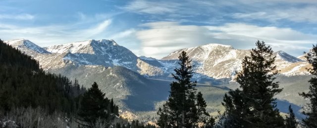
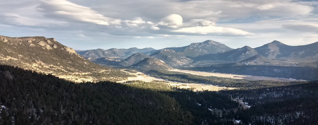
Then we head on up to the park to a waterfalls created years ago by a dam breaking and flooding all the way to Estes Park. After that is a scenic drive with amazing views of the great mountains that are the reason for a national park here. Due to the short days this time of the year, we don’t go further, as it is necessary to return down the winding mountain road before dark.

Back at their place, after dinner, we watch a very interesting documentary on country music, a good way to end the day.

Monticello, Utah to Loveland, Colorado – November 2019

The early days of November are relatively calm and sunny days warm enough for us to spend time time in the back yard. Writing in the journal while Clifford plays dulcimer is especially pleasant. Most of our day is spent on projects: I am catching up with travel photo blogs and editing for a couple of authors, while Clifford focuses on music for the dulcimer, ham radio, and preparing for the televised interview to be held mid-November near Boulder, Colorado.

Sunrise at home-base in Monticello
Recapture Reservoir seen on trip to Blanding
Clifford playing dulcimer in the back yard

Clifford’s ear bothers him most days, but we continue with an itinerary for the trip to Colorado, planning on seeing friends in Loveland for a couple days before going to Boulder for the interview. I have some reservations about traveling to northern Colorado this time of the year, but the forecast is favorable for safe travel.

We leave on the 13th and our destination today is Rodeway Inn in Glenwood Springs, Colorado. Travel is smooth and easy compared to towing Cougar, which we are not doing this time. There is a stop for construction on highway 191 between Monticello and Moab, but luckily we didn’t have to wait too long, just long enough for me to jump out and get a couple of photos, but not nearly as long a wait as the line of traffic headed the other direction.

La Sal Mountains in the distance
Wilson Arch north of Monticello, Utah
Taking photos while stopped for contstruction
The oncoming line of traffic extends as far as one can see … waiting

It is canyon country for much of the 250+ miles today, most of it on I-70 east.

Utah Canyon Country
Formation at Grand Junction, Colorado
Colorado Canyon Country
Approaching Glenwood Springs – traveling on I-70

The Rodeway Inn is comfortable with room for both of us to set up laptops, free wifi, fridge, and coffee maker. Since we don’t feel like going out for dinner, we are a bit limited, but make do with what we have with us. Since there doesn’t seem to be anyone else in the motel, I even get out the viola and run through some of my fiddle tunes while Clifford works on his projects.

Wind Whistle, Utah – October 2019

Tuesday October 8 – I take photos at sunrise from our overnight camping spot in the San Rafael Swells BLM land at exit 131 off I-70 in central Utah. This was a good place to spend the night and it doesn’t take long to be ready to leave on the last leg of the journey back to home-base.

Sunrise at San Rafael Swells

The landscape from San Rafael Swells eastward is sometimes very scenic, sometimes very barren. I-70 winds its way through the badlands and canyon lands, with frequent steep grades. At exit 187, we turn south onto highway 191.

Utah landscape along I-70

As we approach Moab, the deep red of the canyons, which makes this area famous, makes its appearance. We bypass the exits to Canyonlands National Park and Arches National Park as we head into Moab for lunch at the brewery and groceries at the market.

La Sal Mountains

As we continue south on 191, there is a stop for construction. The wait can be up to two hours or more according to the sign and the length of the line, but we are fortunate that we only wait 15 or 20 minutes before moving on. Although home-base in Monticello is within an hour’s drive after the construction, we decide to extend our trip by one more stop, taking a side road to Wind Whistle Campground in the Canyon Rims BLM Recreation Area.

Canyon Rim BLM Recreation Area

Wind Whistle is a small campground, more suited to tents than to RV’s, but well cared for by the host. We find a pull-through spot, a tight fit, but we make it. After getting Cougar set up, I go for a walk on the nature trail while Clifford gets his ham radio antennas set up.

Our campsite at Wind Whistle Campground

After dinner, Clifford sits outside to play dulcimer while I write in the journal. At sunset I take photos of the west-facing mesas. What a pleasant last camping spot before home.

Sunset reflects off west-facing mesas
Soft golden light at sunset

Wednesday October 9: I am up in time to take photos at sunrise. It is mostly sunny today, but so windy that neither Clifford nor I spent much time outside. We hear of wind, snow, and cold in California with power shut off to 70,000 people. We feel very fortunate to be here and able to live comfortably with our solar power and hot spot for internet. I work on blogs and editing today while Clifford works on his ham radio propagation detection program.

Sunset again reflects off west-facing mesa

Thursday October 10: Photos at sunrise again this morning, but the air, the light, the clouds are always changing – it is all like new to me.

Photos at sunrise

After breakfast, we hike the nature trail together, warm in the sunny places and chilly in the shady sections.

Back at camp, we pack up and are on our way a little after noon. We are happy to have found this little treasure of a place, but it is time to return to home-base. We arrive in the early afternoon, having been gone for only three months this time. It seems like it was longer due to the many places we camped and alll the people that we saw on this northern journey.

Due to the increase in elevation between Wind Whistle and here, the wind is bitter cold as we park and level Cougar, but the house is warm and smells good, and it feels harmonious inside, out of the wind. Now that we are here, we will be switching gears and focusing on other things, mostly in connection with Carnicom Institute, but we are already planning our next departure date.

San Rafael Swells, Utah – October 2019

Monday October 7 – Clifford and I have enjoyed our time at Great Basin National Park in eastern Nevada, but it is time for us to continue the journey to home-base in eastern Utah.

I only have time for a couple photos before we get packed up and begin today’s travels, leaving the park at 9:30 a.m.

Last morning at Great Basin National Park
Grey Cliffs

Today our destination is the San Rafael Swells west of Green River, Utah. We travel highway 50 to Delta, Utah, and then zig-zag through prairie and canyon country of western Utah to I-70. We continue east, traversing the ups and downs and curves of the mountains and canyons of central Utah.

Western Utah from Highway 50
Zig-sagging through western Utah
Western Utah from Highway 50
Sevier Lake in western Utah, the remnant of a prehistoric lake
Western Utah from Highway 50
Autumn colors in central Utah
I-70 – Central Utah Canyon Country
Central Utah Canyon Country

I take a lot of photos, but hard to get good shots from the moving vehicle. I’ll have a lot to sort through.

It is a long day of travel for us, about 250 miles, and we are ever so glad to reach the BLM land at the San Rafael Swells, I-70 exit 131. We explored this area several years ago, so know that we can find a place to spend the night. We pull off the San Rafael Road at the first level turnout and do a minimal set up, as we will leaving in the morning.

San Rafael Swells BLM

We have soup and toasted cheese sandwiches for an easy dinner, and are treated to a beautiful sunset before the day ends.

Sunset color begins
New Mexico sunset from San Rafael Swells

Hike to Grey Cliffs – October 2019

Sunday October 6: It is another chilly morning here at Great Basin National Park in eastern Nevada where Clifford and I have been camped for several days. I make coffee as I wait for the sun to rise and warm things up a bit. Then I start walking the trail to Grey Cliffs Campground, pleasant in the sunshine, but once I reach the shade from the bluff, it is too chilly and I head back to our campsite.

Grey Cliff Trail in the morning

After breakfast and cleanup, Clifford takes a break from playing dulcimer so we can walk the Grey Cliff Trail all the way to the other campground. It is a beautiful autumn day and the hike is a great way to end our stay at Great Basin National Park, as tomorrow we will be heading east to Utah.

Grey Cliff Trail in the afternoon
Grey Cliffs

When we return to camp, Clifford goes back to playing dulcimer and I sit out in the last sunlight to write in the journal. When the sun goes down, the temperature drops quickly and we go inside. I make potato salad, an easy snack when traveling, and do some editing of photos taken these days here at Great Basin. This has been a great place, our first time here, but hopefully not our last.

Wheeler Peak, Great Basin National Park – October 2019

Saturday October 5: It is very chilly out this morning (27 degrees) here at Great Basin National Park, Nevada, when I walk to the restroom. I continue on up the road where I can get a photo of the creek without sun glare, a very pretty spot with boulders and little cascades.

Baker Creek

There is a great blue sky today, a perfect day for a drive to Wheeler Peak. However, Clifford is reluctant because of the climb being a bit much for old Suburban, which has just passed the 200,000 mile mark and is showing its age. So, instead, we decide to drive to the end of Baker Creek Road, only about a mile from the Baker Creek Campground where we are camped. As we are driving and I’m looking at the map, we realize that the climb to Wheeler Peak is not as great as he thought, and we could go partway to one of the scenic pull-outs.

Autumn Colors at Great Basin National Park

After turning around at the end of Baker Creek Road, we drive back toward the Visitors Center and take the Wheeler Peak Scenic Drive.

Views from Baker Creek Road
View from Baker Creek Road

Mather Overview is especially scenic with a view of the mountain peaks and a great valley below with autumn trees in full color.

Wheeler Peak from Mather Overlook

Instead of turning around here, we go on up the road to the Wheeler Peak Overview, and then on to the Wheeler Peak parking area at the end of the road.

View from Wheeler Peak Overlook

After finding a place to park, I get out to take photos. Clifford spies a kiosk describing the hiking trails and a decision is made to hike while we are here. This was not part of the original plan, so we don’t have snacks, but we do have warm clothes, hiking sticks, and water in the Suburban. We decide on the lake loop trail that passes by two mountain lakes. Since Clifford will want to hike faster and not stop for photos, we take the loop in opposite directions so we can meet somewhere enroute.

Lake loop trail

The elevation here is over 10,000 feet, so I take my time, rest when I need to, and sip at my water. I reach Teresa Lake and am enjoying taking photos here when Clifford joins me, having hiked twice the distance on his section of the loop. We hike back to the parking lot together.

Lake Teresa
Lake Teresa
Lake Teresa with Wheeler Peak in the background

On our way back to camp, we swing into the Grey Cliffs group site. Although the sun isn’t quite right, I get a couple of photos before we head back to our campground.

Grey Cliffs

We have a very late lunch and then I walkabout for photos of the autumn foliage near the campsite.

Autumn at Baker Creek Campground

Later I do some editing and Clifford plays his dulcimer outside. Dinner is also late, as is going to bed, but it sure was a fun day!

Clifford with the dulcimer

Lehman Caves – October 2019

Friday October 4: It is super windy all night with the slide-out awning making a racket and Cougar rocking a bit. I have concerns for the awning and the solar panel, so don’t sleep well.

When I get up this morning, it is still windy, but the only damage is our chairs being blown over. In go for a walk in spite of the wind and get a few photos of the creek and the wild turkeys, the largest I’ve seen.

Baker Creek
Big wild turkeys

With the wind, it seems a good day for the Lehman Cave Tours. We call to find out if there are spots left on the afternoon tours. There are a few, but without having reservations, we’d have to go to the Visitors Center now to get a spot. We try to reserve online, but the cell signal is not strong enough to support a good internet connection, and it ends up being a huge hassle and a waste of time. In the end, we go to the Visitors Center, and due to many other people also wanting to do a tour, another one is added to the schedule. We still have to wait an hour and a half, so we watch the movie about Great Basin National Park and hike the Nature Trail. Then, while Clifford naps, I read Aarp magazines.

Finally it is time for the tour. Our ranger guide is pretty young woman who could be a stand-up comedian. She is quite delightful. The caves are amazing and our ranger was entertaining as well as informative.

We talk to her afterwards, as she is moving to Lolo, Montana, in the Bitterroot Valley where she will be working at Travelers Rest State Park. Since I have family in the area and we have spent a lot of time camping in the Bitterroot Valley, she is interested in learning a bit about the valley from us. It was nice to have the extra time with her.

Our exceptional Ranger Tour Guide and Clifford

Back at camp, we nap, then work on projects before dinner and early to bed for me. Luckily the wind died down during the day and I expect the coming night will be more peaceful.

Arrival at Great Basin National Park – October 2019

Thursday October 3: It is 26 degrees this morning at the wayside pull-out north of Wells, Nevada, off US highway 93, where we spent the night. Clifford is still sleeping, which gives me time to take a few photos and write in my journal. We are off to a bit of a late start this morning, but only planning on going to another wayside stop near Ely, Nevada.

Wayside pull-out – Highway 93

Heading south, still on 93, a small rest area is also the site of the Schellbourne Pony Express stop, back in the day. Several kiosks and displays recount the short but lively history of the Pony Express, most notably how very dangerous it was.

Pony Express – Schellbourne, Nevada

As we continue, we note the impressive mountain ranges: the Ruby Mountains, the Schell Creek Range, and the Snake Range, which includes Great Basin National Park with Mount Wheeler being over 13,000 feet.

Impressive mountain ranges in Nevada

After getting gas in Ely, instead of stopping at the wayside pull-out, Clifford decides to push on to the park in spite of the windy conditions and the lateness of our start this morning. So, on we go, arriving in late afternoon. We stop at the Visitor Center in nearby Baker to pick up a brochure and get information on the campgrounds.

Mount Wheeler in the distance

We try Lower Lehman Campground first, but every site is taken. The road is steep, very hard on our old Suburban, both up and down. Then we drive out to Baker Creek Campground on the Baker Creek Road. This late in the afternoon there are not many sites left and these are not very level, but we find a spot that will work nicely. After we get set up and leveled, I walkabout to explore while Clifford naps after a long day of driving. Dinner is late, but we are happy to be here!

We found a site that will work nicely (notice slope both behind and in front of Cougar)
Baker Creek
Autumn foliage at Baker Creek Campground

Nevada Here We Come – October 2019

Wednesday October 2: Clifford and I are leaving Craters of the Moon National Monument in southern Idaho this morning. We have been camped here for the last several days as we waited out the storm that descended on the northwest, but today looks like a good day to travel.

It is 26 degrees as I hike up the trail to the lava knoll and take a few photos at sunrise.

Lava knoll
Trail to Lava Knoll
Craters of the Moon at sunrise
Good-bye to campsite blossoms

Then we pack up and are on the road by 11:30, traveling US highway 93 through miles and miles of lava fields, which give way to farmland. After stopping for supplies and gas in Twin Falls, Idaho, we continue south into the more rugged Nevada landscape.

Our destination is Great Basin National Park, but today we are planning on stopping in Nevada at a wayside stop that we see on the map near Jackpot, Nevada. However, when we get there, we don’t see it, so we continue on, not knowing where we are going to spend the night. Eventually snow-clad mountains make an appearance in the distance.

Rugged Nevada landscape
Mountains in the distance

We watch for other wayside pull-outs and find a good one just before Wells, Nevada. We park and level Cougar, with a small stand of junipers making a buffer between us and the highway. We are pleased to find this relatively quiet and scenic place to spend the night. We even have cell service!

Wayside pull-out near Wells, Nevada
Scenic landscape

One More Day at Craters – October 2019

Tuesday October 1: It is 27 degrees this morning at Craters of the Moon National Monument where Clifford and I are camped. We had planned to leave this morning, but due to a forecast of possible snow flurries or freezing fog, our plans are changed. At first we consider leaving this afternoon, but with snow off and on this morning, we decide to stay.

Since we are here today, we take advantage of the opportunity for another outing. We drive to the spatter cones and take the short hike to look down into the gaping holes left by these eruptions.

Viewing platform at the spatter cones (did I mention it was chilly out?)

From there, we hike the trail that leads to the North Crater, but only go as far as Big Crater. One can only imagine the cataclysmic event that caused this caldera.

Trail to Big Crater and North Crater
Looking down into Big Crater caldera
Expansive views of lava fields and cones

Then we stop at Inferno Cone, where I hike to the top while Clifford waits in the car. This turns out to be the best hike of all, as the top of the cone is flat with trees and shrubs and great long scenic views in all directions.

View from the top of Inferno Cone
Views from Inferno Cone
Old Grandmother of a tree alone on the top of Inferno Crater

Back at camp, we have chili for dinner and work on our projects: editing and journal writing for me, and Clifford is designing a program to model ionospheric propagation and ham radio communications. Snow flurries off and on remind us that we made a good decision to stay another day.