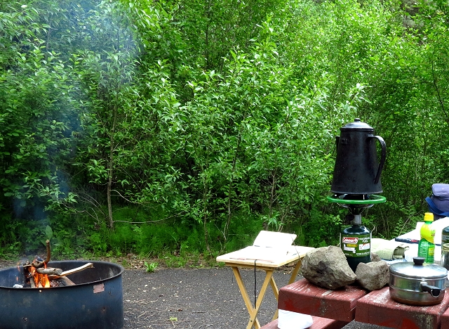
Thursday September 26: Today we are leaving our campsite at Bass Creek Recreation Area in the Bitterroot Valley of western Montana and heading south on highway 93, down the valley and over Lost Trail Pass. The time in Montana has been great and I am sorry to be leaving, but climate and weather are dictators, so we are heading south.
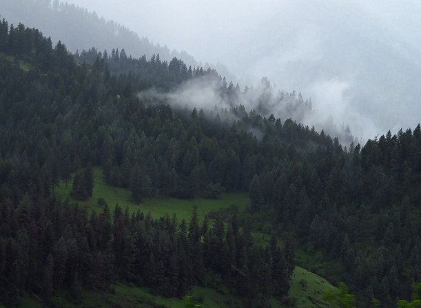
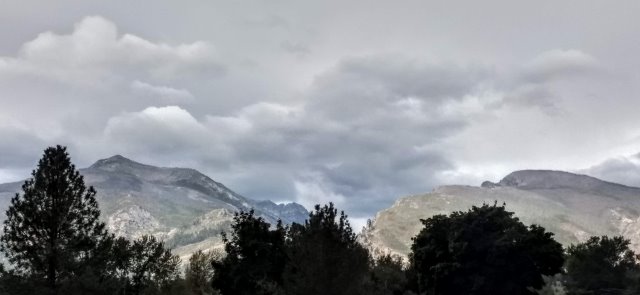
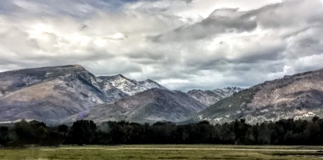
The Bitterroot Mountains are beautiful and rugged, with a dusting of snow. It is hard to get photos from a moving vehicle with a dirty windshield and tinted side windows. Oh, the frustrations of a photographer/documentarian – me.
Once past Darby, the highway narrows, becoming more winding and there is no shoulder. It is pretty, but not a great place to be towing.
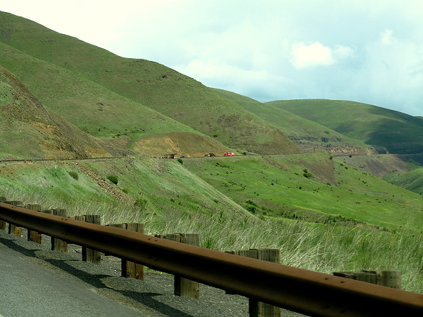
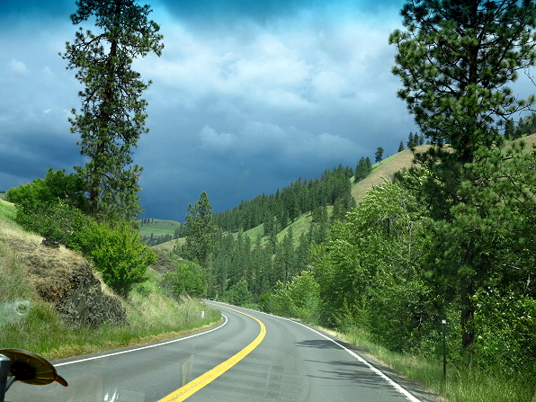
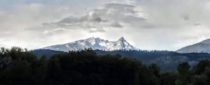
Fortunately, as we draw closer to Lost Trail Pass, which will take us into southern Idaho, the highway is much improved with shoulders and passing lanes. It is very slow going up, over, and down the pass, steep and winding, but it is a good highway and not scary like the previous shoulderless section.
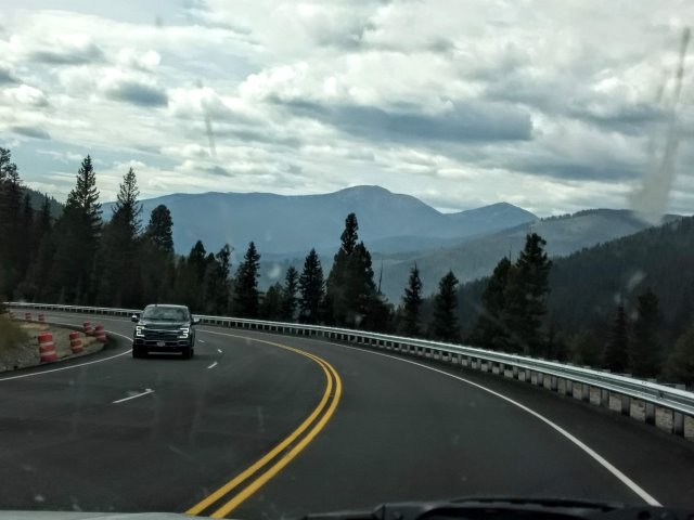
Lost Trail Pass 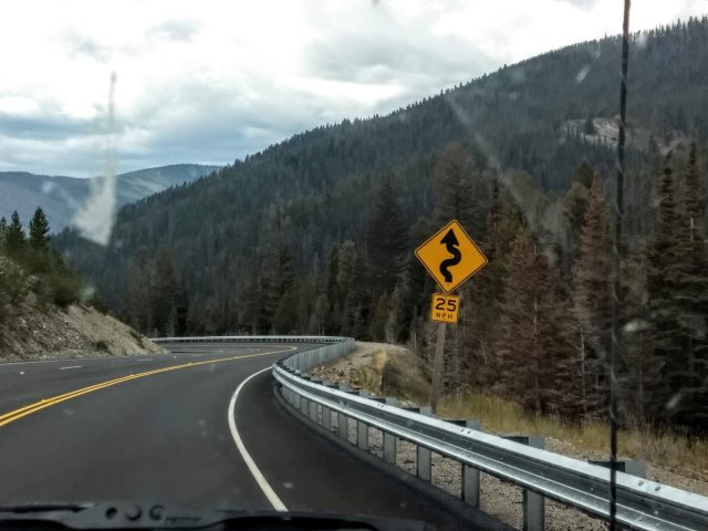
Steep and winding
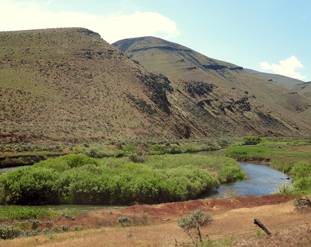
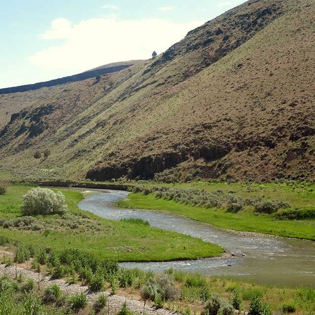
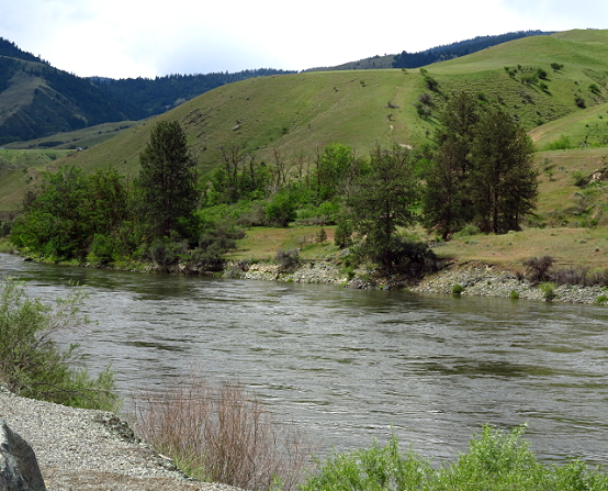
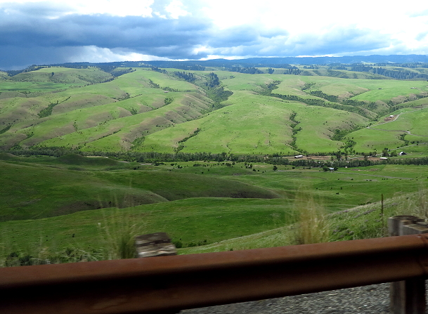
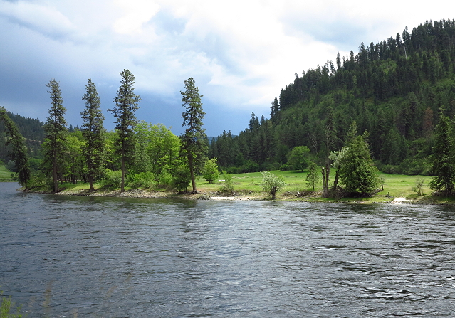
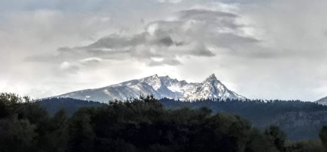
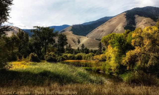
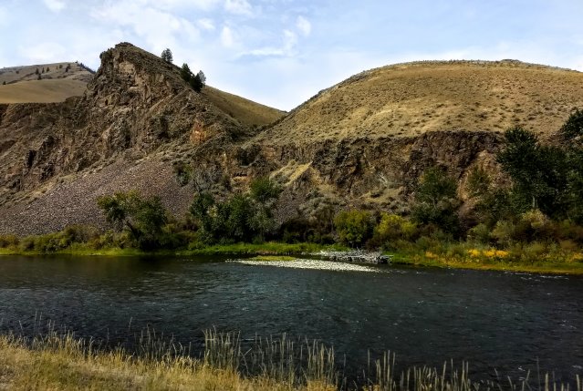
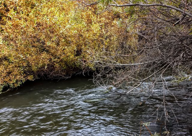
The mountains open up into rugged foothills and we soon see the Salmon River and autumn colors. We stop in the town of Salmon, Idaho, for gas, and then take highway 28 southeast, which on the map appears to be a straight stretch and the closest intersection with I-15, our intended route home. This is new territory for us and, indeed, the highway is straight and the landscape scenic.
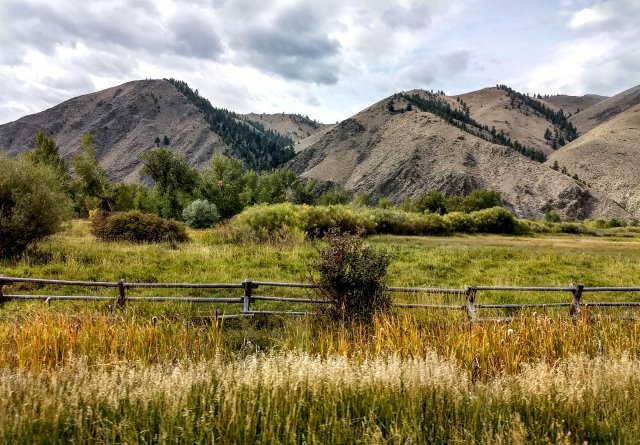
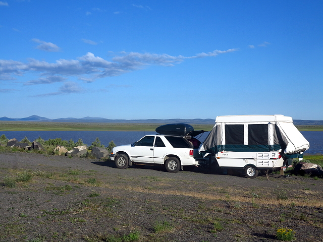
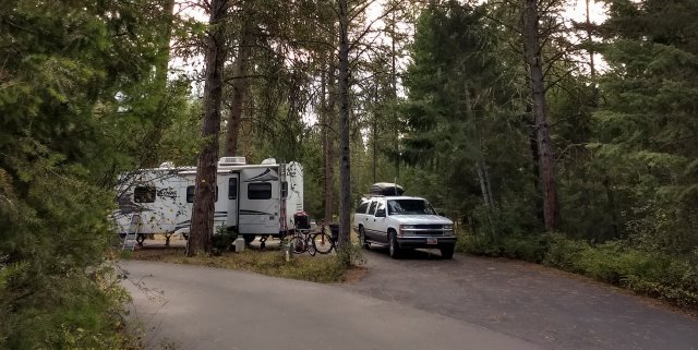
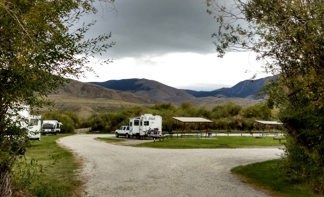
About 30 miles south of Salmon, we turn in at the BLM McFarland Recreation Area. This campground is small without much privacy, but it is clean, with water available and vault toilets. We are grateful for the convenience of this campground and our peaceful night.
Clifford checks the weather, as we are trying to keep ahead of a big storm descending on the northwest US. It looks like our plan to get to I-15 will put us going through Salt Lake City during the thick of the storm, so a route adjustment is made. We will head, instead, to Craters of the Moon National Park to the southwest of us where we can camp until the storm passes. I’m doing a little secret happy-dance, as I have wanted to go to Craters of the Moon for several years.