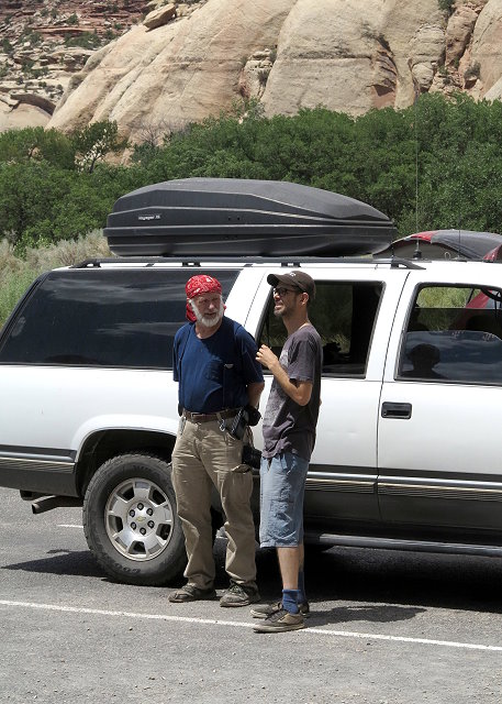
Thursday July 5: Today is a playday for us – Clifford, me, and CI webmaster and friend, Kaylee, who has come up from Albuquerque for a CI board meeting, project planning, and web work. We have been working hard on CI projects this week, but decide to take a day off to show Kaylee the countryside.
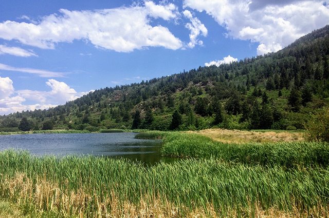
Our destination is the Needles District of Canyonlands National Park, by way of Abajo Mountain. Our first stop is Foy Lake at the crest of the slope we are traversing, as we explore possible camping spots for future reference.
Foy Lake on Abajo Mountain
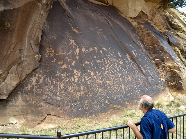
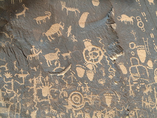
Our next stop is a Utah State Historical Monument, Newspaper Rock, a 200 square foot cliff wall covered with Native American petroglyphs, created by several ancient cultures beginning about 1,500 years ago. The “drawings” consist of animals, human figures, and many inexplicable symbols. In our travels, this is the most dense display of petroglyphs that we have seen.
Newspaper RockA close-up of some of the petroglyphs on Newspaper RockExploring at Newspaper RockClifford and Kaylee chat as they wait for me to take a few more photos
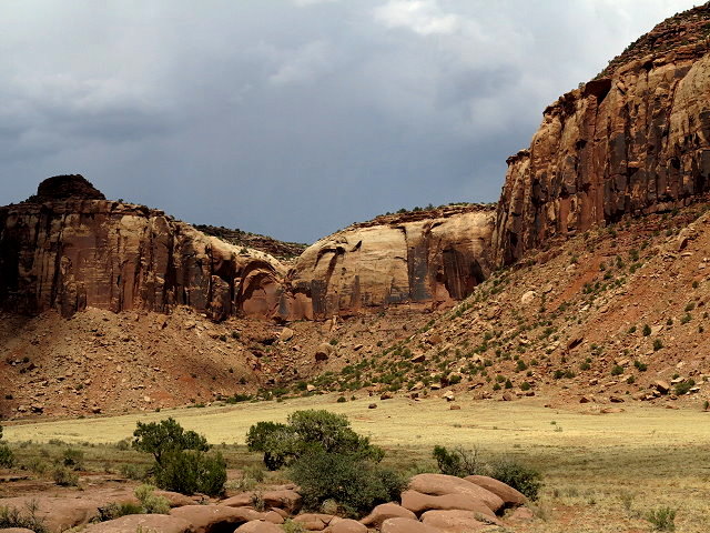
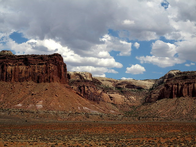
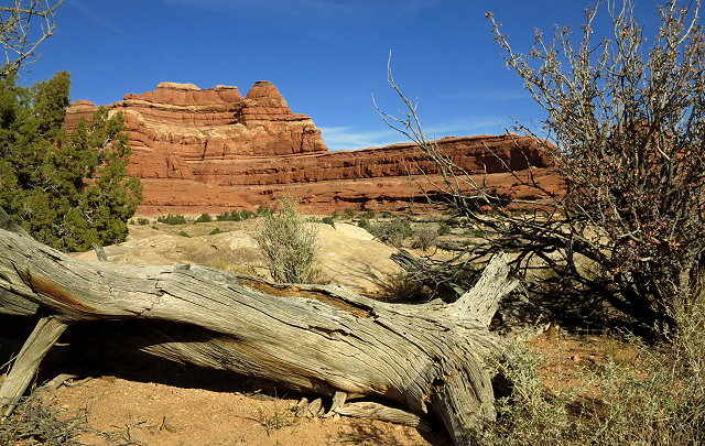
Continuing on highway 211, the journey includes several miles through canyon land under BLM jurisdiction.
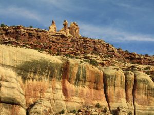
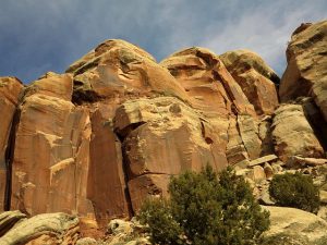
BLM land on the route to Needles District of Canyonlands National ParkBLM land on the route to Needles District of Canyonlands National Park
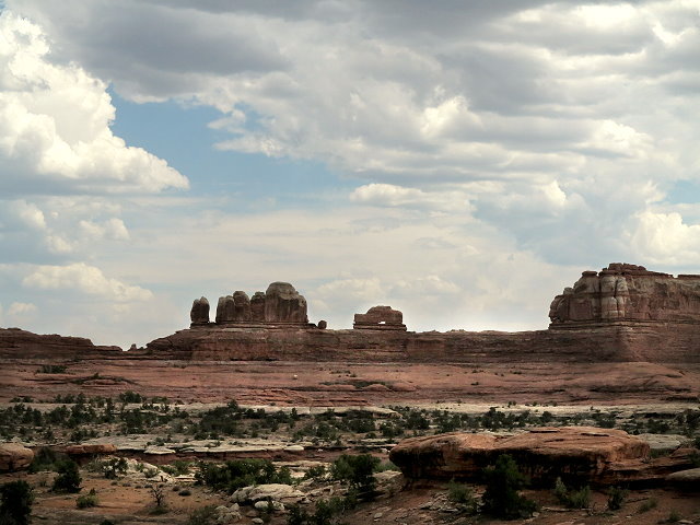
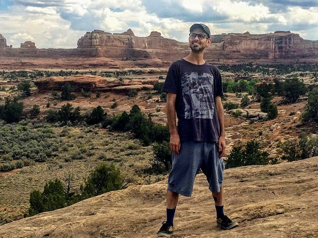
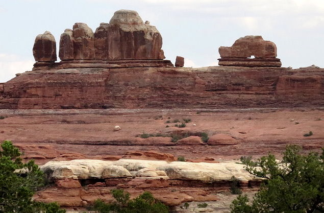
When we arrive at the Needles District Visitors’ Center, we browse briefly, then drive on to view points of interest. Wooden Shoe Arch is a good stop and we linger there a bit.
Wooden Shoe Arch vista pointOther views from the Wooden Shoe Arch pulloutOther views from the Wooden Shoe Arch pulloutClifford relaxing at the Wood Shoe Arch pulloutKaylee enjoying the views at the Wooden Shoe Arch pullout
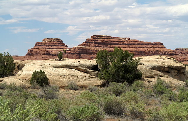
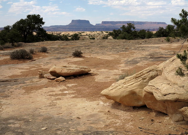
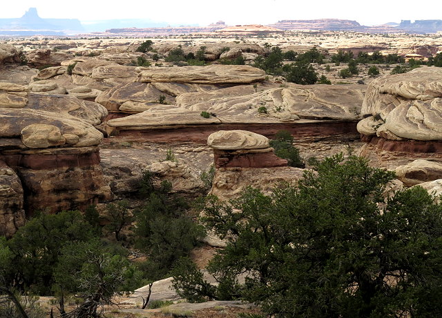
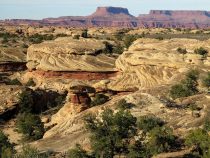
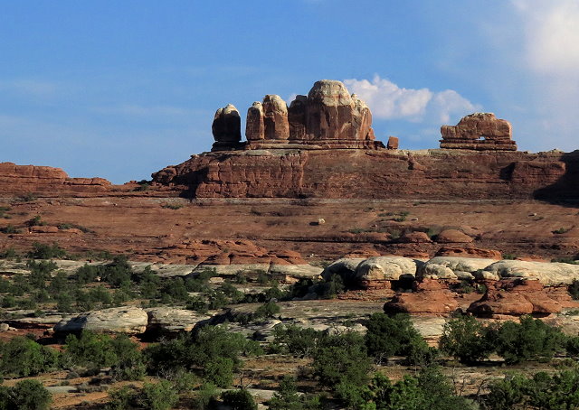
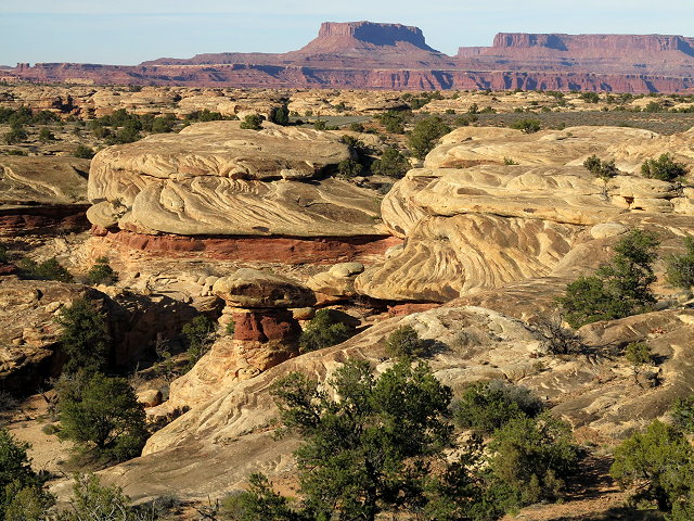
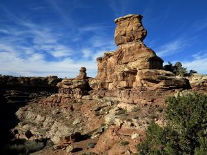
At Pothole Point, we hike the loop trail, which offers views of the remarkable landscape in this part of the park. On the way back, there is a better pullout from which to see the Wooden Shoe Arch, even though it is not marked as such.
Pothole Point scenic hiking loopPothole Point scenic hiking loopCarol on the Pothole Point scenic hiking loopBadland views from Pothole Point scenic hiking loopView of the Needles District from the Pothole Point scenic hiking loopA closer view of Wooden Shoe Arch
Back at home, I download the photos of the day. We visit after dinner, bed time is late, but we all had a very good day, a refreshing break before we carry on with CI business tomorrow.
No wind for a change and forecast for 64 degrees in nearby Canyonlands National Park, so we are going there today for a Thanksgiving outing and picnic. I send Happy Thanksgiving Day text to my kids, pack food for the outing, and then we are on our way.
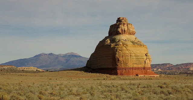
Castle Rock at the junction of Hwy 191 and Hwy 21 into Canyonland National Park
We are going to Canyonlands via the secondary highway rather than over Abajo Mountain, as Clifford wants to check out a firing range that is not far off Hwy 191. We find the right place and are the only people here. It is nice spot and we could even come here for a picnic sometime.
Firing range area off Hwy 21. Could be a nice place for a picnic
Then on we go, checking out a couple of the BLM campgrounds on the way. We are surprised to find them overflowing. Not a single spot available for us to have our picnic. This is unexpected, as there was almost no one in these campgrounds when we camped here in September on our scouting trip.
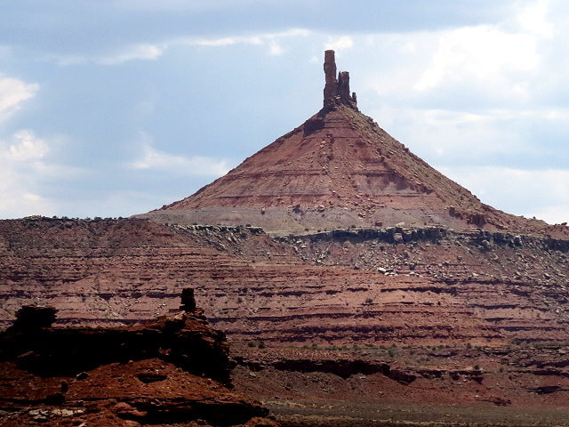
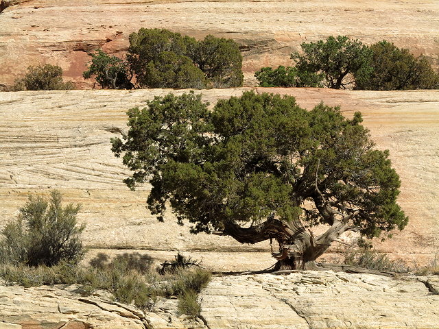
Views along Hwy 21Rock formations along Hwy 21 into Canyonland National Park
On the to the Visitor’s Center, expecting to find it packed, also, but there is almost no one there and we have our pick of the picnic tables, choosing one with the most sunshine.
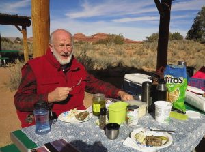
Our abundant Thanksgiving picnic
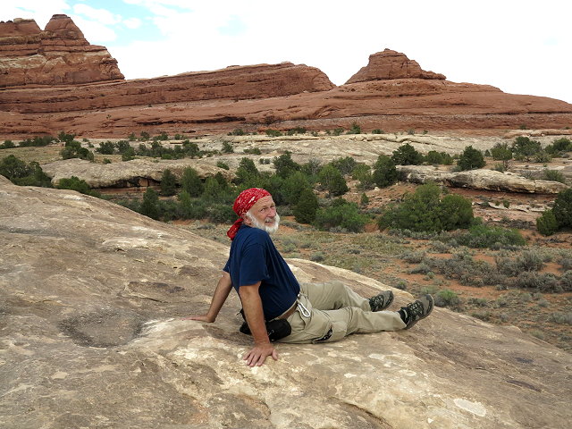
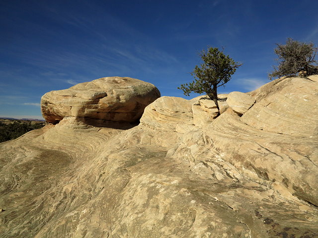
After our abundant picnic, I go “rock climbing,” finding my way up a huge boulder outcrop… or more precisely, an upcrop. I take photos from the top – too bad the sky is so trashed with jet trails.
Rock climbing at the Needles Visitors CenterViews of red rock mesas from the top of the rock climb
Then we go on the scenic drive, stopping briefly at the Wooden Shoe Arch View Point.
Wooden Shoe Arch View PointLooking the other direction at the Wooden Arch View Point
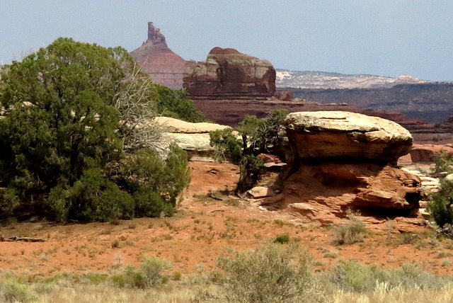
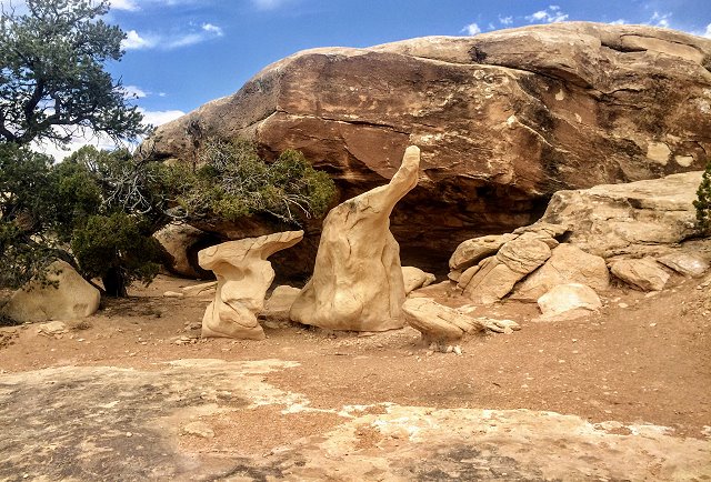
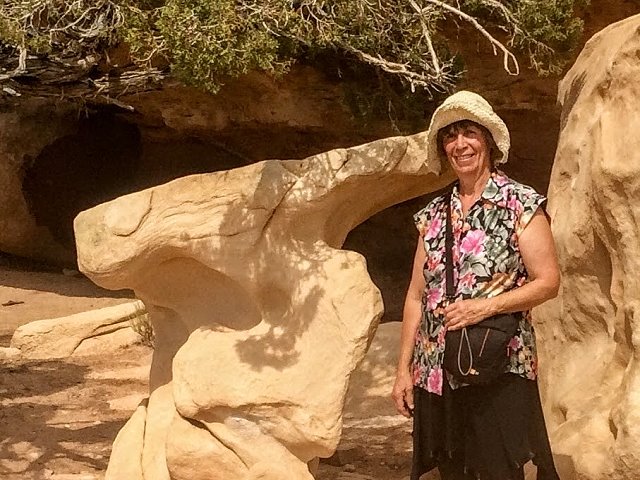
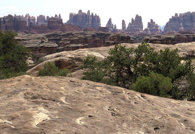
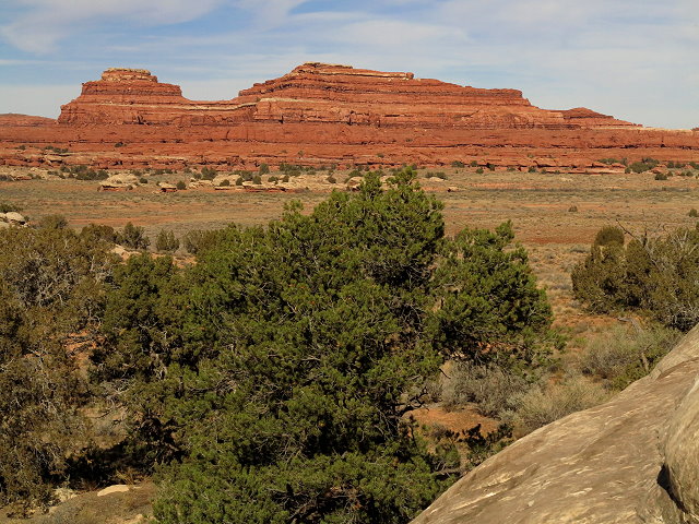
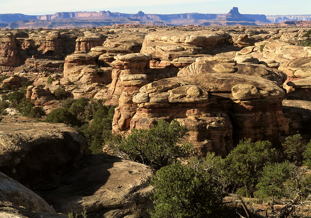
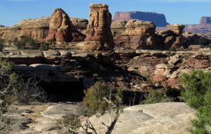
At Pothole Point, we go on the hike – really just a half-mile walk across the slick rock with great views of the badland rock formations.
Badland formations seen from Pothole Point trailBadland formations seen from Pothole Point trailClifford looks west toward the rugged Needles District
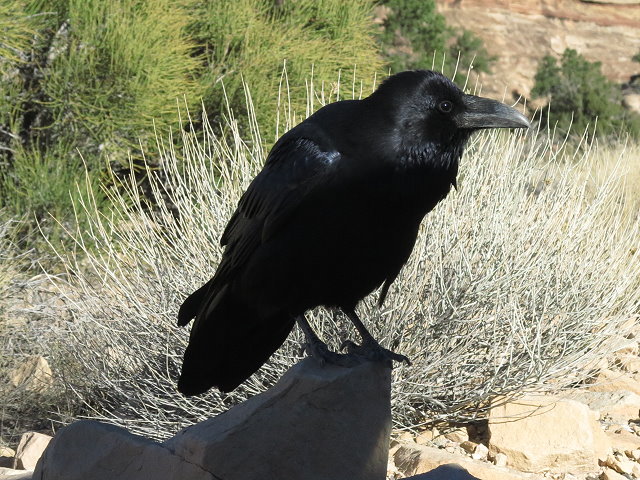
When we reach the end of the scenic drive, we park, and ravens are eagerly waiting to invade the car through the open windows!
Raven ready to take advantage of tourists
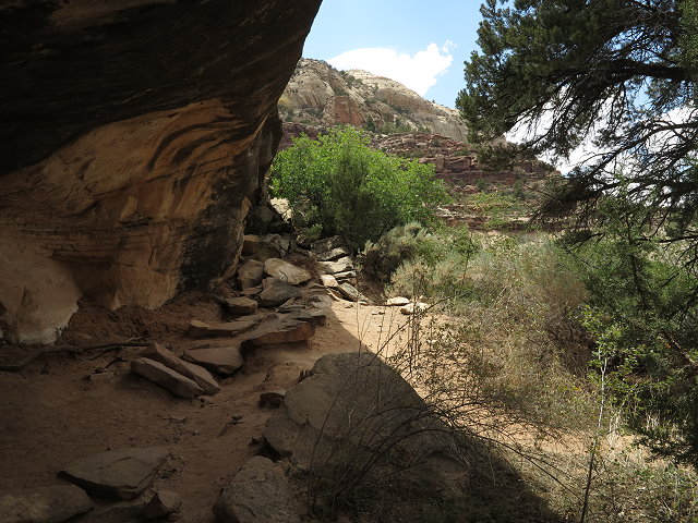
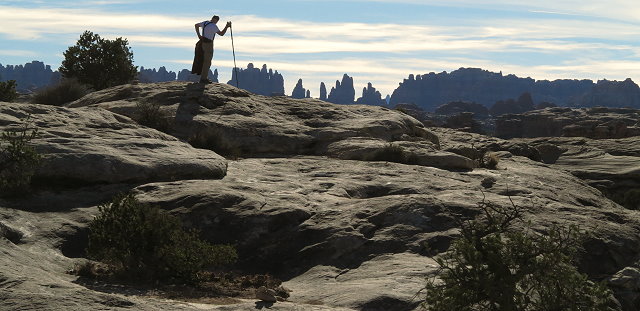
We hike part of the trail here and I take a few more photos of the formations before we head back to Monticello.
It is getting too late to drive over the mountain, so we don’t make a loop trip as planned, as driving over the mountain in the dark wouldn’t be that much fun.
It was a very fun outing and we look forward to going again in the spring.