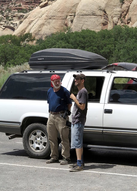
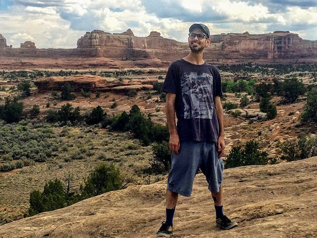
Thursday July 5: Today is a playday for us – Clifford, me, and CI webmaster and friend, Kaylee, who has come up from Albuquerque for a CI board meeting, project planning, and web work. We have been working hard on CI projects this week, but decide to take a day off to show Kaylee the countryside.
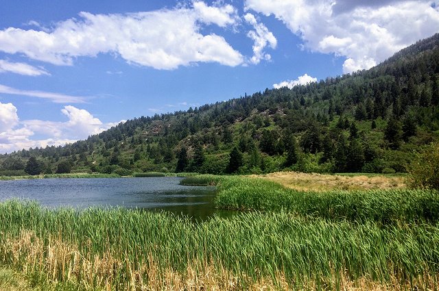
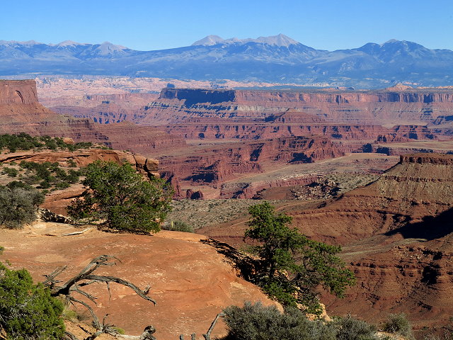
Our destination is the Needles District of Canyonlands National Park, by way of Abajo Mountain. Our first stop is Foy Lake at the crest of the slope we are traversing, as we explore possible camping spots for future reference.
Foy Lake on Abajo Mountain
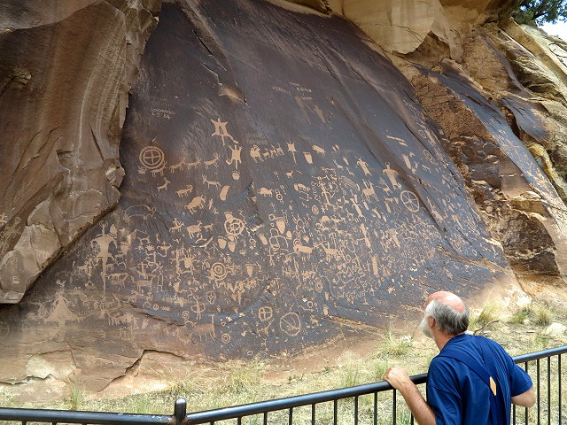
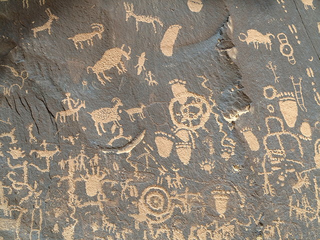
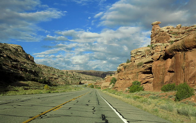
Our next stop is a Utah State Historical Monument, Newspaper Rock, a 200 square foot cliff wall covered with Native American petroglyphs, created by several ancient cultures beginning about 1,500 years ago. The “drawings” consist of animals, human figures, and many inexplicable symbols. In our travels, this is the most dense display of petroglyphs that we have seen.
Newspaper RockA close-up of some of the petroglyphs on Newspaper RockExploring at Newspaper RockClifford and Kaylee chat as they wait for me to take a few more photos
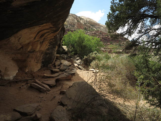
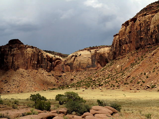
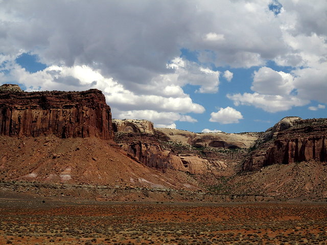
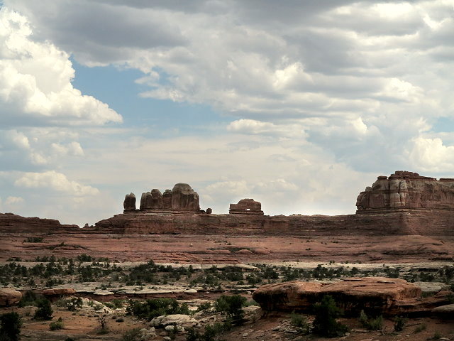
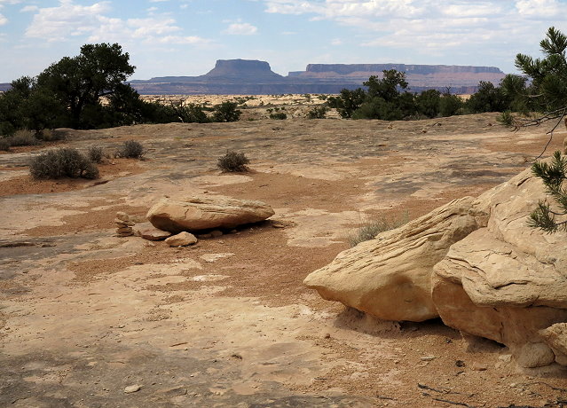
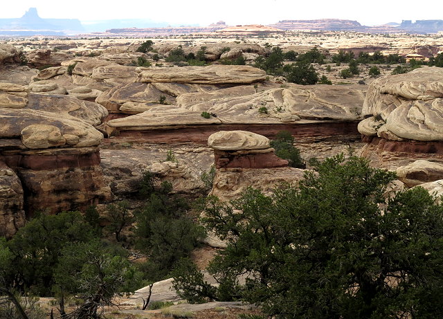
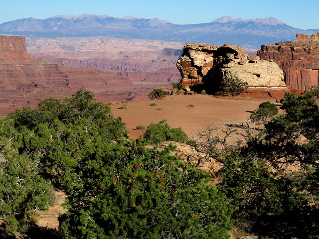
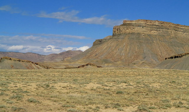
Continuing on highway 211, the journey includes several miles through canyon land under BLM jurisdiction.
BLM land on the route to Needles District of Canyonlands National ParkBLM land on the route to Needles District of Canyonlands National Park
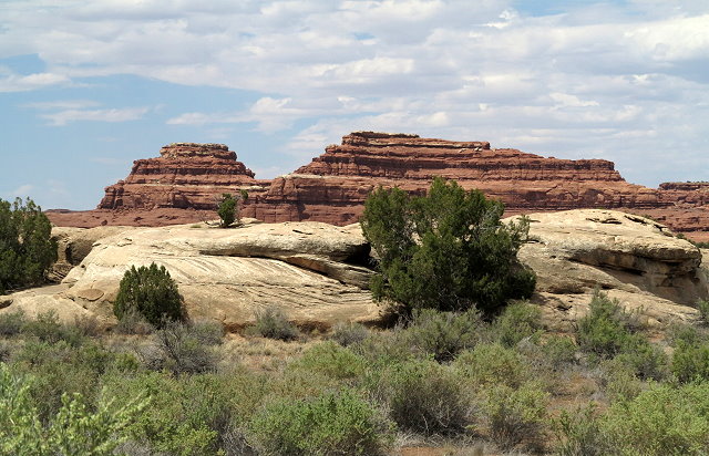
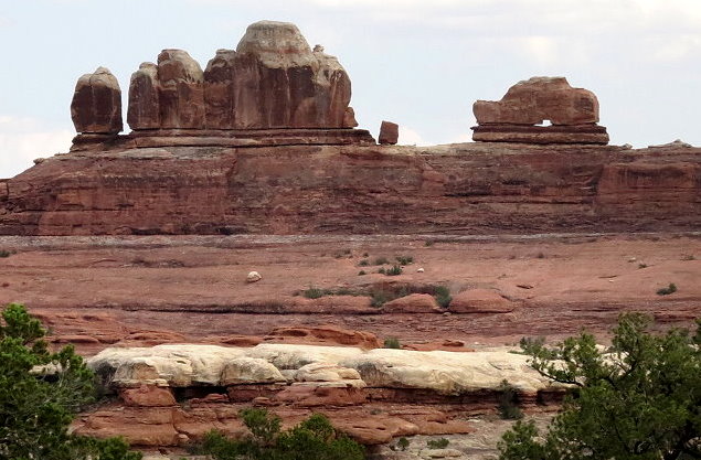
When we arrive at the Needles District Visitors’ Center, we browse briefly, then drive on to view points of interest. Wooden Shoe Arch is a good stop and we linger there a bit.
Wooden Shoe Arch vista pointOther views from the Wooden Shoe Arch pulloutOther views from the Wooden Shoe Arch pulloutClifford relaxing at the Wood Shoe Arch pulloutKaylee enjoying the views at the Wooden Shoe Arch pullout
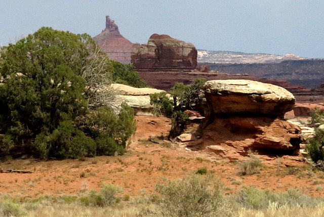
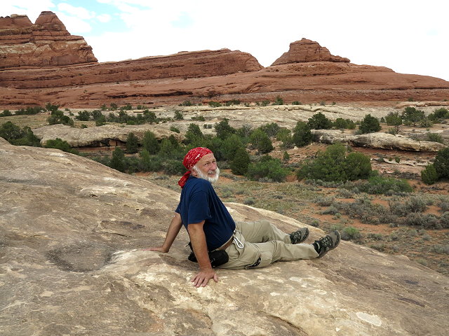
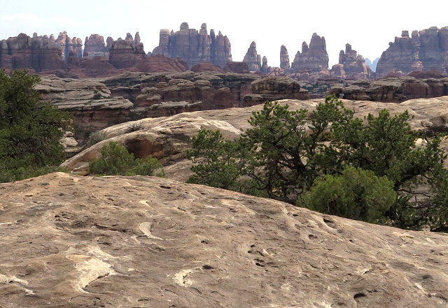
At Pothole Point, we hike the loop trail, which offers views of the remarkable landscape in this part of the park. On the way back, there is a better pullout from which to see the Wooden Shoe Arch, even though it is not marked as such.
Pothole Point scenic hiking loopPothole Point scenic hiking loopCarol on the Pothole Point scenic hiking loopBadland views from Pothole Point scenic hiking loopView of the Needles District from the Pothole Point scenic hiking loopA closer view of Wooden Shoe Arch
Back at home, I download the photos of the day. We visit after dinner, bed time is late, but we all had a very good day, a refreshing break before we carry on with CI business tomorrow.
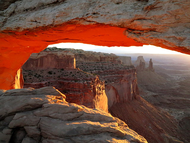
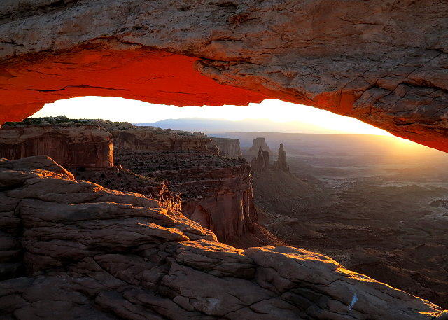
Thursday, October 20th, I get up early and head out in the pre-dawn to Mesa Arch, as I want to get there in time for sunrise photos. By time I get to the parking lot, the sky is already becoming light and the parking lot is nearly full. Guess I should have come earlier! I hike to the arch and am dismayed to see the arch opening lined with photographers, shoulder to shoulder, with their fancy cameras and huge lenses on hefty tripods. There is literally no place for me to stand to get a shot of the arch that will soon reflect the glow of the rising sun. Finally some guy kneels down behind his tripod and I can shoot over his shoulder, but I still get the camera of the photographer next to us in my photo. After the sunrise glow on the underside of the arch comes and goes, several photographers move off. An interesting thing happens: after a short period of no glow, the rocks below the arch begin to reflect the sunlight up to the underside of the arch and the lovely famous glow returns.
Mesa Arch at sunrise
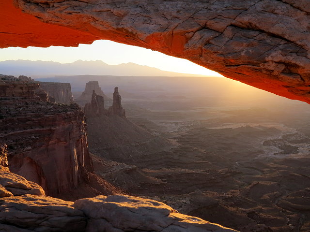
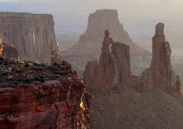
Now I am able to move around a bit and get several shots of the arch and the Washer Woman formation in the background.
Mesa Arch with Washer Woman formation in the background
Close-up of Washer Woman Formation
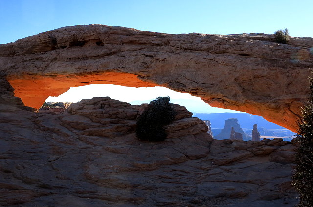
Although I am reluctant to leave, eventually I start the hike back to camp. My cell phone chirps at me; I am surprised and pleased to see that there is enough cell reception here that I am able to see that I have a phone message. I climb up a rock incline away from the trail to listen to the message and then send texts with a cell pic of the arch to my brother and my daughters. After I return the phone call, I call my mom. We have a nice visit until I lose the connection as I’m returning to the parking lot. I decide to explore another trail heading uphill away from the parking lot, hoping for a better cell connection so I can call her back. I discover that this trail leads around to the arch, coming in from a higher vantage point. Not many people are there now, so I go on down to the arch once again. Amazingly, for a few minutes, I am the only person there!
Mesa Arch – I am the only person there!
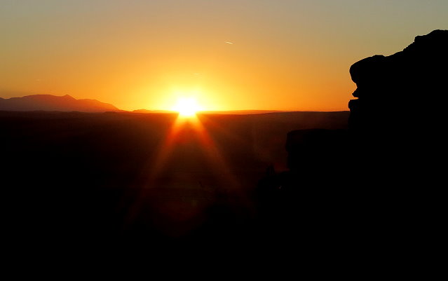
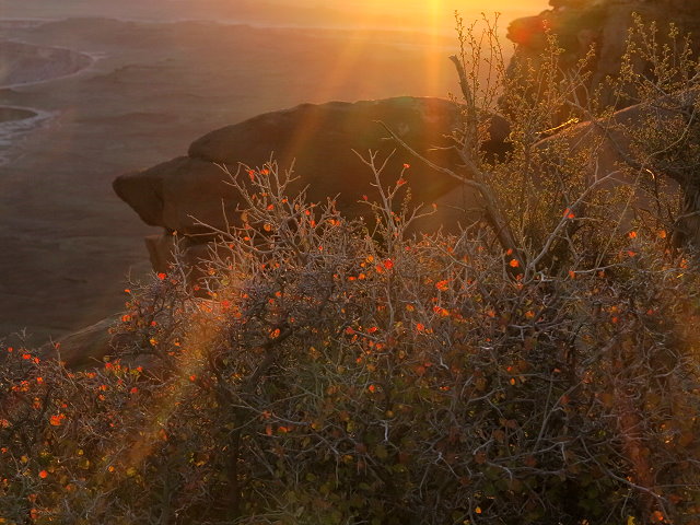
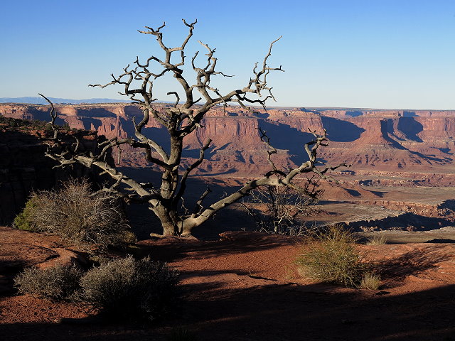
The early morning glow is fading, but to be there in the silence and the beauty of the landscape is priceless. Back at camp, Clifford is feeling worse and spends most of the day in bed. I walk down to the Green River Overlook in the afternoon, and once again, I am the only person witnessing the silence and the beauty of the landscape at this particular point on the planet.
The Green River at sunset
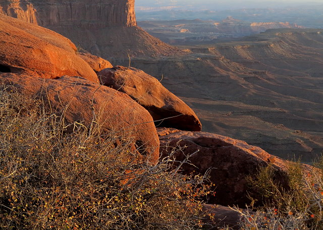
Friday October 21st, Clifford spends the day in bed, while I drive to the visitor’s center for water; mail a postcard of Mesa Arch to Mom so she can see where I was when I called her yesterday. Stop at the Shafter Trail Overview again and Mesa Arch, which is not nearly as dramatic as it is at sunrise.
Shafer Trail Overlook
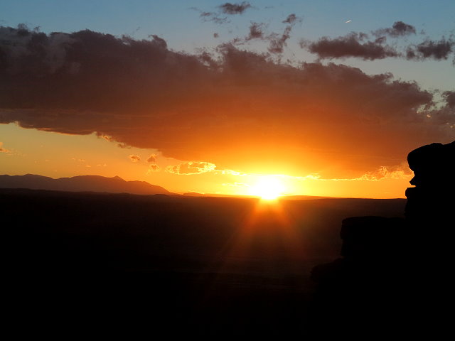
Back at camp, I download photos and begin editing them. Walk down to the Green River Overlook in time for the sunset.
Sunset at the Green River Overlook
Make soup for dinner, as that is something that Clifford can eat.
Saturday October 22nd, I make a campfire this morning and write in my journal. Clifford is feeling a bit better and up much of the day. We work on projects and tidy up Terry. In the afternoon, I sit outside to play the cello, and later walk down to the Green River Overlook.
Near sunset at the Green River Overlook
We have nachos for dinner and I begin reading “Dances With Wolves.” I saw the movie many years ago, but the book is better.
Monday, October 17th, the mild morning temperature turns cooler as the wind shifts from SW to NW.
The wind shifts, cooler with rain clouds
Leaving Price, the wind does not hamper us, but once we reach I-70, it is problematic.
Leaving Price, Utah
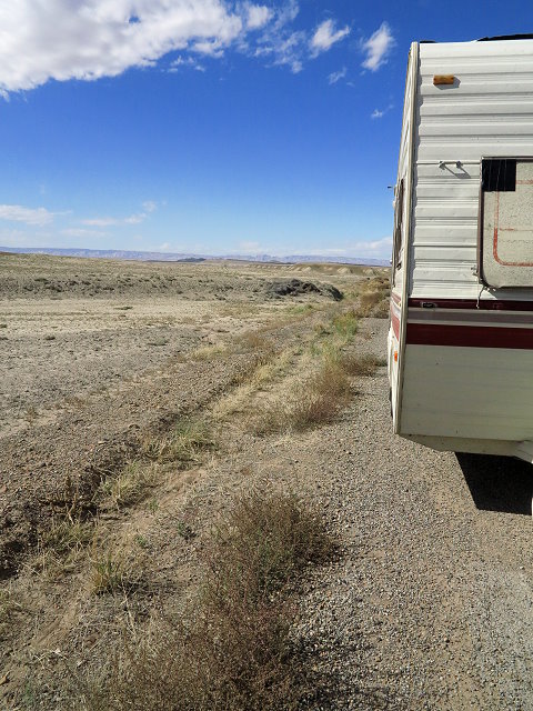
After getting gas at Green River, Utah, we decide to take a frontage road that parallels the highway, since we are having a hard time maintaining interstate speed. Turns out this road is not maintained and it is a very rough ride until we rejoin I-70. At one point we have to stop because the hitch support post slips and hits the ground.
Stop for damage report
Near the junction with Hwy 191, which will take us south to Moab, we pull into rest stop located on the top of a barren windswept mesa.
Barren and windswept landscape
In spite of the wind, we have a picnic, partially protected by one of the shelters, before we get set up for the night. Quite a switch from last night’s lovely spot.
Tuesday, October 18th, we leave the rest area shortly after 8:00 a.m., as we were advised to be at the Willow Flat Campground in Canyonland National Park by 9:00 a.m.
Heading to Canyonland National Park
It is a small and popular campground that is filled daily by 10:00 a.m. We arrive shortly after 9:00 and are pleased that the first site, a pull-through with a view, is available. The temperature is mild enough that Clifford sits in the sun to study and I am able to play cello outside after we get set up.
Perfect site for us
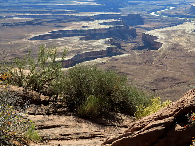
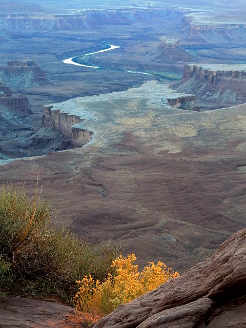
In the afternoon I walk down to the Green River Overlook, a view of the Green River as it cuts its deep meandering channel across the desert.
Green River Overlook
and later Clifford and I walk down in time for photos at sunset.
Green River at sunset
Last rays of the setting sun
Sunset at the Green River Overlook
We are very pleased to be here.
I
Wednesday, October 19th,I make a small campfire this morning, as I especially appreciate the quiet time outdoors before the busy-ness of the day. Today we make a sight-seeing trip to the Shafer Trail Overlook,
Schafer Trail Overlook
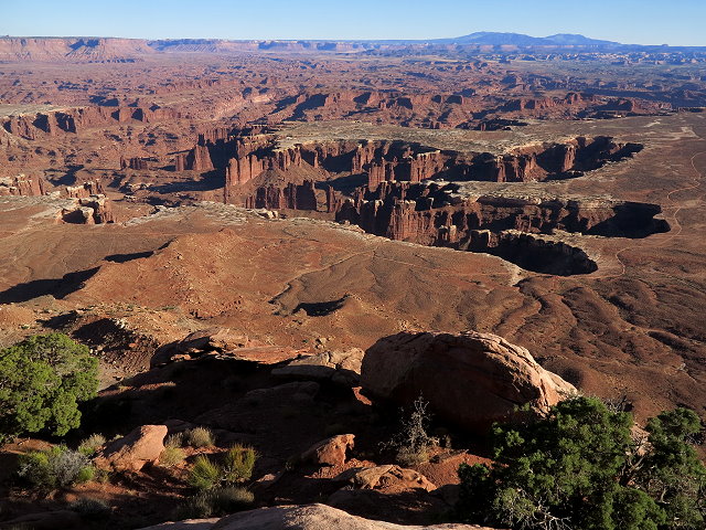
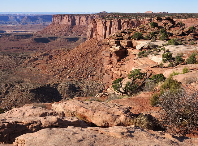
the Grand View Point Overlook,
Grand View Point Overlook
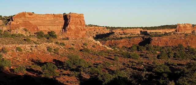
the Orange Cliff view point,
Orange Cliff view point
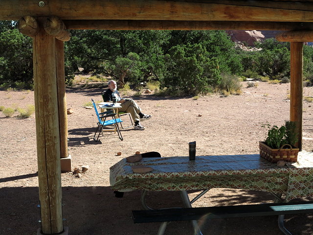
and then stop for a picnic at the same place we had a picnic last time we were here, over three years ago.
Canyonland picnic area
In the evening, I walk down to the Green River Overview.
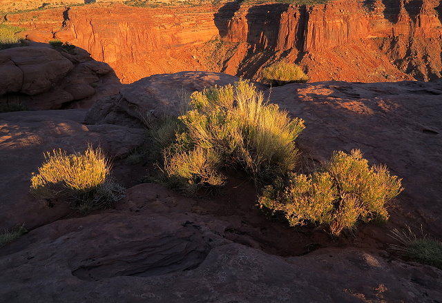
Mesa to the east of Willow Flat Campground near sundown
In the neighborhood
Sunset light at Green River Overlook
Clifford has a sore throat this evening, which is not good. We use remedies that we have with us and hope that he feels better tomorrow.