Monday March 5: Today Clifford, Rollie, Ninja, and I go for an outing to Chiricahua National Monument in the Chiricahua Mountains to the west of the Dragoon Mountains where we are camped. I make thermoses of tea and coffee and get a picnic together for us. Then off we go.
It is about an hour’s drive from our camp to the Visitors’ Center. Very nice place with good displays, maps, books, and gifts.
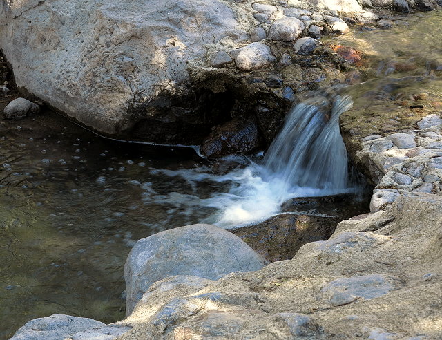
A little stream flows by the Chiricahua Visitors’ Center
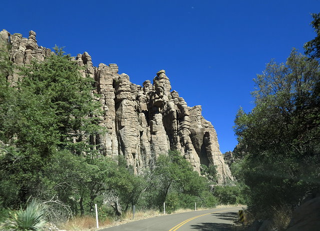
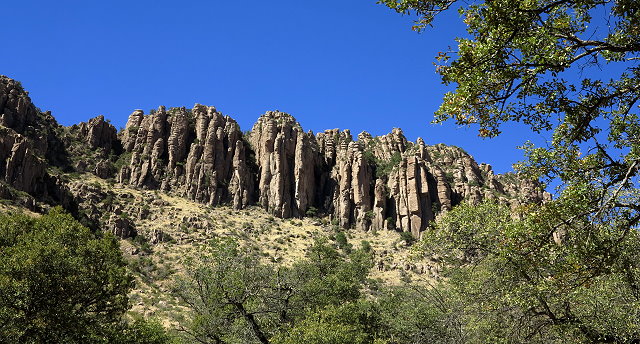
Then we drive the scenic road to Massai Point Nature Trail where there is a loop hike. Sure wish we could stop to get photos of the interesting rock formations on the way, but there aren’t many marked pull-outs.
Hard to catch photos from the window while cruising along the highwayInteresting rock formations line the highway from the Visitors’ Center to Massai Point
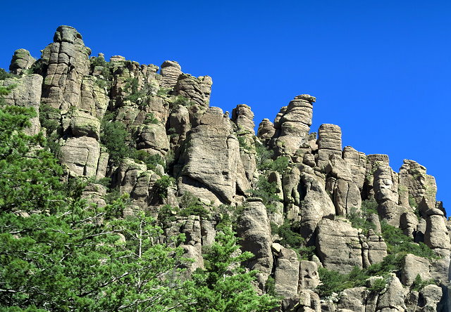
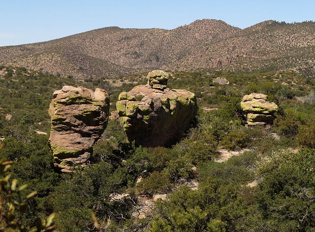
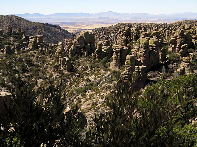
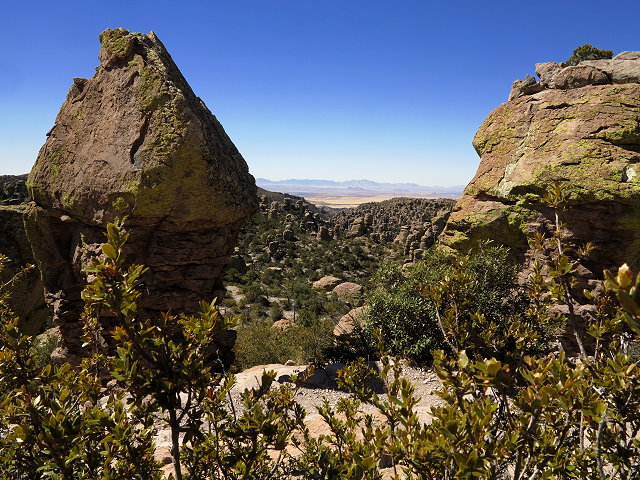
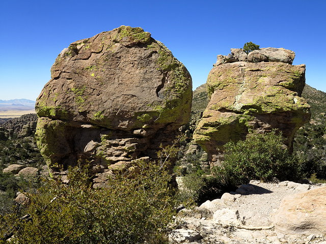
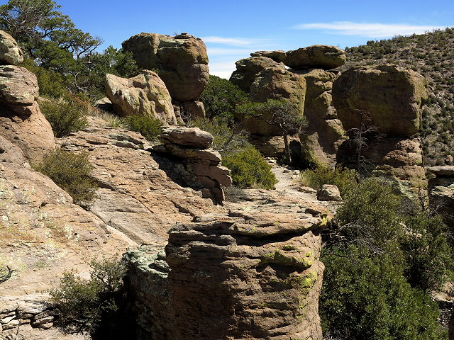
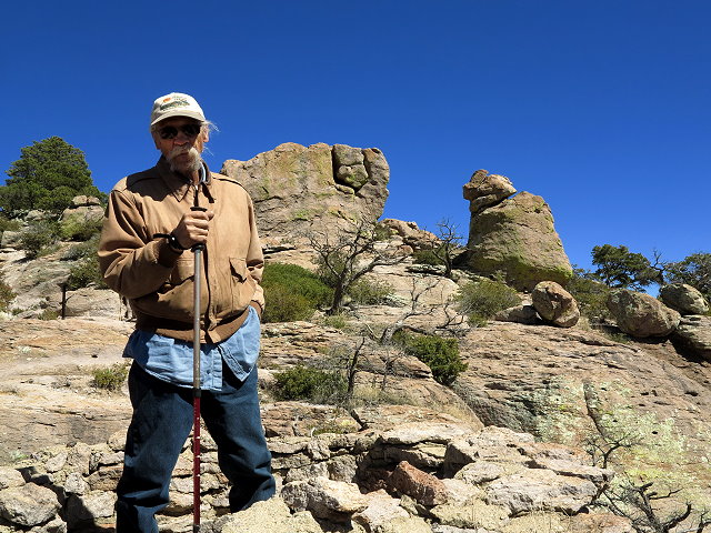
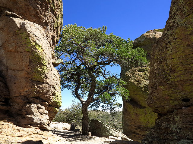
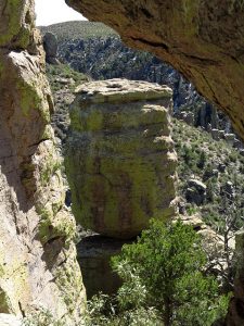
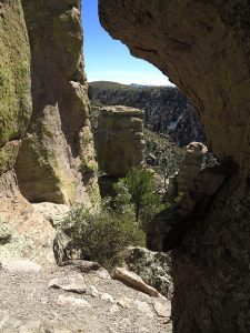
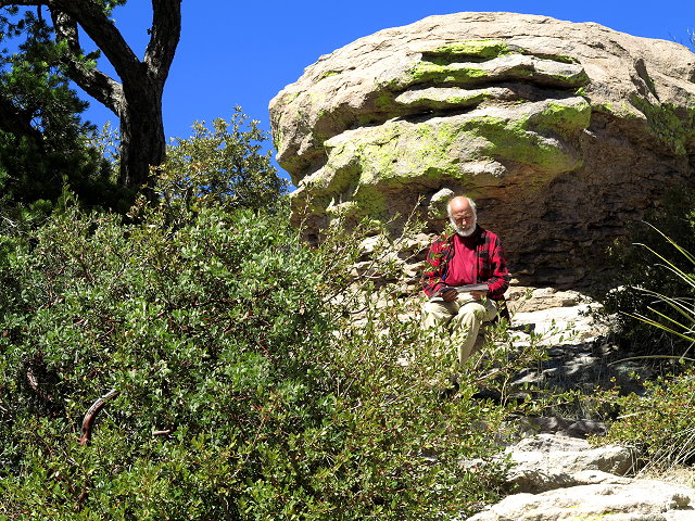
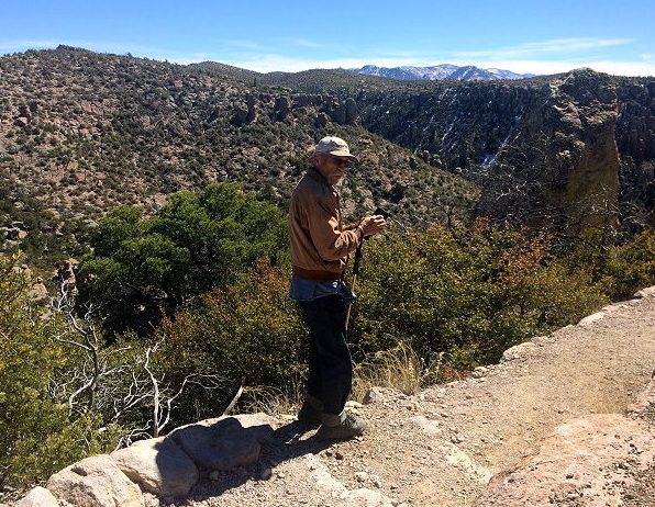
At Massai Point, we park and hike the scenic trail at a leisurely pace, Rollie and I both taking lots of photos. The rock formations here were created by a volcanic activity 25 million years ago. Over 2,000 feet of ash-flow covered the landscape and erosion carved out what we see now.
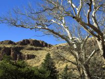
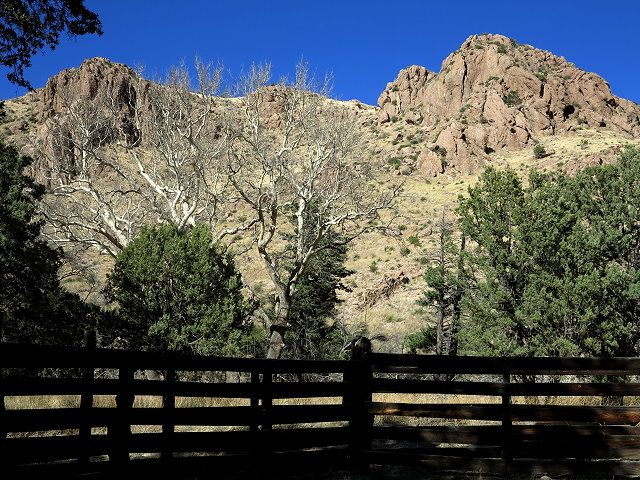
Rock formations seen from the Massai Point Nature TrailLooking across the Arizona desert basin, we can see in the distance the Dragoon Mountains where we are campedRock formations seen from the Massai Point Nature TrailRock formations seen from the Massai Point Nature TrailCanyons and rock formations created by millions of years of geological activity, including volcanoes, erosion, and plate tectonic movementMassai Point Nature TrailRollie views the canyons beyond; Ninja had to wait in the car, as dogs are not allowed on the trailMassai Point Nature TrailBalanced rock seen from Massai Trail – close-upBalanced rock seen from Massai TrailClifford on the Massai Point Nature Trail – reading brochure on the Chiricahau National MonumentRollie on the edge
After this hike, we head back down the road and pull in at the campground, curious to see it now under different circumstances than when we were here about 15 years ago after driving over the Chiricahua Mountains in late December, pushing snow with the bumper of our 2-wheel drive S10. That was one of the dumbest (and scariest) things we’ve ever done.
Today is mild, mostly sunny, but windy, and the campground is quite full. We find a spot to pull over to placate the photographer (me),
View of rock formations from campground in Chiricahua National Monument
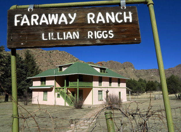
and then continue on down the road past the Visitors’ Center to the Faraway Ranch, so names as it was so far away from any other civilization. There is a picnic area at the ranch and it is less windy at the lower elevations. We find a table in the sunshine and have our picnic before exploring the Faraway Ranch homestead.
Faraway Ranch so named because it was so far away from any other civilizationBrief Faraway Ranch background informationThe land that became the Faraway Ranch
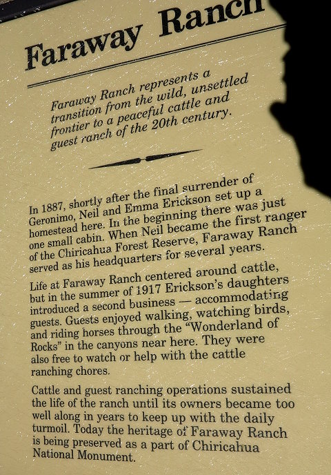
We missed the tour, but walk about and read the kiosks. It is interesting to contemplate what life was like for the people who were the first settlers of this land; not the first residents, as those Native Americans were being pushed onto reservations by this time. One can admire the courage and tenacity of the settlers, but one should not overlook the travesty of justice in regard to the Native Americans who lived on this land for centuries before.
Once the land of the Apaches
Back at camp I send cell pics to family and do some editing. Tonight we have a simple dinner of soup, cheese, and crackers, and then I play cribbage with Rollie before downloading my camera photos. Always fun to look at the photos after a day’s outing.